4 Recreation Avenue, Harold Wood, Romford, RM3 0TU
About 4 Recreation Avenue
4 Recreation Avenue is a three-bedroom detached house in Harold Wood, Romford, Romford (RM3 0TU). It has a recorded floor area of 131 m² (around 1410 sq ft), construction records dating it to 1930-1949 and council tax band E. The latest certificate (December 2019) shows a D (score 56), a step below the typical UK home. When first surveyed in July 2010 the rating was E, the property has climbed 1 band since. Between certificates, hot-water efficiency went from Average to Good, lighting went from Average to Very Good and main heating went from Average to Good; while roof efficiency dropped from Very Good to Average and window efficiency dropped from Good to Average. The recommended improvements would push it to C (score 78).
At 131 m² the property is well over the postcode median (74 m² across 7 EPCs), placing it in the larger end of the local stock. Across 2010–2020, sale prices on this property compounded at 7.2% per year. On a £-per-square-foot basis, the last sale (£468/sq ft) was about 44.9% above the typical sold price in the postcode. Most recent transfer: November 2020 at £660,000.
Know exactly what you're buying at 4 Recreation Avenue
Before you offer, see what the listing won't tell you, the true value, the red flags and the full history.
Already flagged here
Valuation
against the asking price
Risks
planning & flood
Sold prices
similar homes nearby
Trends
the local market
What this property has
Inside
- Bedrooms3
- Bathrooms2
- Dining roomYes
- Utility roomYes
- CloakroomYes
- StudyYes
Outside
- GarageYes
Energy performance
4 Recreation Avenue's carbon output runs well above what efficient homes in the postcode produce.
EPC Rating
Property Improvements
Changes detected from historical EPC data
Heating controls changed
Hot water system upgraded
Windows upgraded, improving insulation
More low energy lighting installed
Planning history
4 Recreation Avenue has no planning applications on record.
Notable planning nearby
6applications of note in the surrounding area
We flagged 2 things worth checking at 4 Recreation Avenue
Independent checks surfaced things a buyer would want to understand before offering. The report explains each one in full, with the underlying data and what to ask.
- Signs of HMO activity in the area
- Larger development activity nearby
30-day money-back guarantee
Sales history & valuation
Latest sale on 4 Recreation Avenue was the highest on Land Registry record across the postcode.
£720,000
Modelled from EPC, postcode comparables and a sale-price growth of 7.2% per year over 10 years.
£660,000
Growth on file: 7.2% per year over 10 years.
Sales timeline
24 November 2020Most recent
£660,000
+100.6%over 10 years22 November 2010
£329,000
Median price across the last 5 sales in RM3 0TU: £412,500 (2025–2011).
Nearby sales in RM3 0TU
3a, Recreation Avenue, Harold Wood, Romford, RM3 0TU
Sold Jul 2025
£447,0003 Recreation Avenue, Harold Wood, Romford, RM3 0TU
Sold Dec 2018
£412,50015 Recreation Avenue, Harold Wood, Romford, RM3 0TU
Sold Apr 2017
£358,0002 Recreation Avenue, Harold Wood, Romford, RM3 0TU
Sold Dec 2014
£525,00013 Recreation Avenue, Harold Wood, Romford, RM3 0TU
Sold Aug 2011
£228,000
Everything we know about 4 Recreation Avenue, in one report
What it's really worth, what could be wrong, and the planning, sales and area data in full.
What we flagged
- Signs of HMO activity in the area
- Larger development activity nearby

Versus other Recreation Avenue homes
CO₂ Emissions for 4 Recreation Avenue lags the street by a wide margin.
Price per m²
£5,038
Street avg £4,667
Floor Area
131 m²
Street avg 82 m²
Habitable Rooms
7 rooms
Street avg 5 rooms
CO₂ Emissions
6.8 t/year
Street avg 3.5 t/year
Similar properties nearby
1 Charlock Close
RM3 0LE
1 Cane Hill, Harold Wood
RM3 0WH
1 Cavell Crescent, Harold Wood
RM3 0WL
1 Ashflower Drive
RM3 0FL
1 Chelsworth Close
RM3 0ET
1 Blakeborough Drive, Harold Wood
RM3 0WS
1 Aubrietia Close
RM3 0XG
1 Bennison Drive, Harold Wood
RM3 0WJ
The neighbourhood at a glance
Rail-style transport is unusually close for this postcode.
Crime
6/mo
Rising year-on-year across the wider district.
Nearest stop
0.1 km
Recreation Avenue — bus stop.
Closest school
0.3 km
Redden Court School. 25 schools nearby.
Go deeper on the local area
The full report breaks down crime, transport links, schools and air quality in depth.
Road noise across the postcode
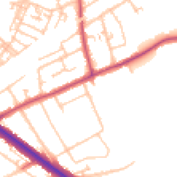
Daytime· 07:00 – 23:00
50.4dB

Night-time· 23:00 – 07:00
40.6dB