36 Avenue Road, Harold Wood, Romford, RM3 0SU
About 36 Avenue Road
36 Avenue Road is a four-bedroom detached house in Harold Wood, Romford, Romford (RM3 0SU). It has a recorded floor area of 149 m² (around 1604 sq ft), construction records dating it to 1900-1929 and council tax band G. The latest certificate (September 2010) shows a G (score 20), near the bottom of the EPC scale. The recommended improvements would lift it to E (score 41), a 2-band jump. The latest certificate is from September 2010, so improvements made since then won't be reflected.
Untraded for 15 years, with the last transfer in February 2011. At 149 m² the property is well over the postcode median (81 m² across 20 EPCs), placing it in the larger end of the local stock. On energy efficiency it sits in the bottom 10% of properties in this postcode — significant headroom for improvement. Today's modelled estimate of £699,000 sits 83.9% above the 2011 sale of £380,000. On a £-per-square-foot basis, the last sale (£237/sq ft) was about 17.1% below the postcode norm. 3 planning records sit against the property, 0 approved, 0 refused.
Know exactly what you're buying at 36 Avenue Road
Before you offer, see what the listing won't tell you, the true value, the red flags and the full history.
Already flagged here
Valuation
against the asking price
Risks
planning & flood
Sold prices
similar homes nearby
Trends
the local market
What this property has
Inside
- Bedrooms4
Energy performance
36 Avenue Road sits at the bottom of the postcode for energy efficiency — meaningful headroom to improve.
EPC Expired
This certificate is over 10 years old and is no longer valid.Expired 19 Sept 2020
EPC Rating
Planning history
36 Avenue Road has been extended on multiple sides of the property across separate planning applications.
- Jan 2018PorchFullIn report
Extension: Front of property
FRONT PORCH
Extension- Documents
- 8 docs on file
- Reference
- P1671.17
- Dec 2017Loft ConversionOutlineIn report
CERTIFICATE OF LAWFULNESS FOR PROPOSED HIP TO GABLE LOFT CONVERSION WITH REAR DORMER AND ROOFLIGHTS TO FRONT ELEVATION.
- Documents
- 7 docs on file
- Reference
- D0415.17
We flagged 2 things worth checking at 36 Avenue Road
Independent checks surfaced things a buyer would want to understand before offering. The report explains each one in full, with the underlying data and what to ask.
- Signs of HMO activity in the area
- Larger development activity nearby
30-day money-back guarantee
Sales history & valuation
36 Avenue Road valuation sits well clear of the typical sold price in this postcode.
£699,000
Modelled from EPC, postcode comparables.
£380,000
Recorded with HM Land Registry.
Sales timeline
21 February 2011Most recent
£380,000
Median price across the last 5 sales in RM3 0SU: £485,000 (2024–2022).
Nearby sales in RM3 0SU
6 Avenue Road, Harold Wood, Romford, RM3 0SU
Sold Aug 2024
£430,00010 Avenue Road, Harold Wood, Romford, RM3 0SU
Sold Jul 2023
£485,00012 Avenue Road, Harold Wood, Romford, RM3 0SU
Sold Jun 2022
£445,00050 Avenue Road, Harold Wood, Romford, RM3 0SU
Sold Jun 2022
£825,00040 Avenue Road, Harold Wood, Romford, RM3 0SU
Sold Mar 2022
£810,000
Everything we know about 36 Avenue Road, in one report
What it's really worth, what could be wrong, and the planning, sales and area data in full.
What we flagged
- Signs of HMO activity in the area
- Larger development activity nearby

Versus other Avenue Road homes
On epc rating, 36 Avenue Road runs well behind the street norm.
Price per m²
£2,550
Street avg £4,345
Floor Area
149 m²
Street avg 91 m²
Habitable Rooms
8 rooms
Street avg 5 rooms
CO₂ Emissions
19.0 t/year
Street avg 4.1 t/year
Similar properties nearby
1 Amelle Gardens
RM3 0HW
1 Charlock Close
RM3 0LE
1 Cane Hill, Harold Wood
RM3 0WH
1 Cavell Crescent, Harold Wood
RM3 0WL
1 Ashflower Drive
RM3 0FL
1 Chelsworth Close
RM3 0ET
1 Blakeborough Drive, Harold Wood
RM3 0WS
1 Aubrietia Close
RM3 0XG
The neighbourhood at a glance
Rail-style transport is unusually close for this postcode.
Crime
6/mo
Rising year-on-year across the wider district.
Nearest stop
0.2 km
Harold Wood Library — bus stop.
Closest school
0.5 km
Harold Court Primary School. 18 schools nearby.
Go deeper on the local area
The full report breaks down crime, transport links, schools and air quality in depth.
Road noise across the postcode
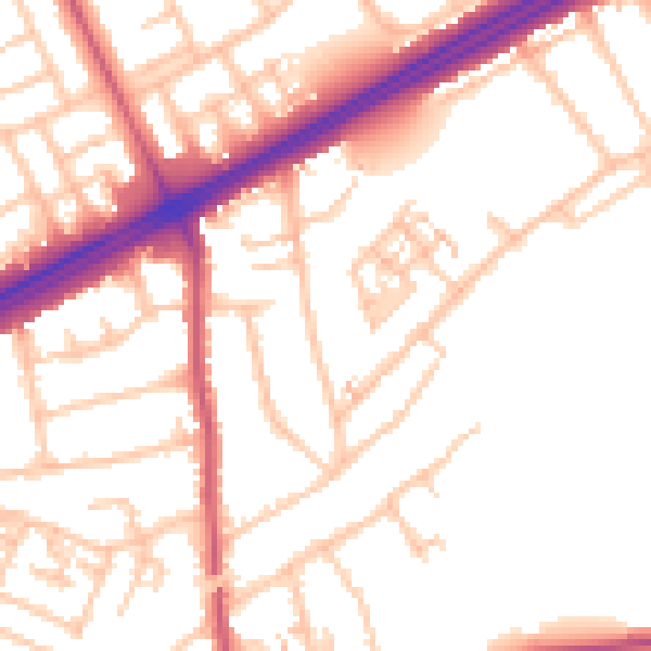
Daytime· 07:00 – 23:00
52.6dB

Night-time· 23:00 – 07:00
42.7dB