10 Avenue Road, Harold Wood, Romford, RM3 0SU
About 10 Avenue Road
10 Avenue Road is an end-of-terrace house in Harold Wood, Romford, Romford (RM3 0SU). It has a recorded floor area of 120 m² (around 1292 sq ft), construction records dating it to 1900-1929 and council tax band E. The latest certificate (January 2023) shows a D (score 67), on the cusp of jumping into the C band. The rating has held steady at D across 2 certificates since September 2012. Between certificates, wall efficiency went from Very Poor to Average and lighting went from Good to Very Good; while roof efficiency dropped from Good to Average and window efficiency dropped from Good to Average. The recommended improvements would lift it to B (score 83), a 2-band jump.
At 120 m² the property is well over the postcode median (81 m² across 20 EPCs), placing it in the larger end of the local stock. Across 2006–2023, sale prices on this property compounded at 3.4% per year. Today's modelled estimate of £597,000 is 23.1% above the 2023 sale price. On a £-per-square-foot basis, the last sale (£375/sq ft) was about 33% above the typical sold price in the postcode. 2 planning records sit against the property, 0 approved, 0 refused. Last sale on file: £485,000 in July 2023.
Know exactly what you're buying at 10 Avenue Road
Before you offer, see what the listing won't tell you, the true value, the red flags and the full history.
Already flagged here
Valuation
against the asking price
Risks
planning & flood
Sold prices
similar homes nearby
Trends
the local market
Energy performance
Recommended upgrades on file would lift this property by multiple EPC bands.
EPC Rating
Property Improvements
Changes detected from historical EPC data
Wall insulation upgraded
More low energy lighting installed
Planning history
- Dec 2024OutlineIn report
Certificate of Lawfulness for the use from a dwelling house (use class C3) to childrens care home (Use Class C2)
- Documents
- 9 docs on file
- Reference
- D0409.24
- Nov 2023Change of UseOutlineIn report
Certificate of Lawfulness for the use from a dwelling house (use class C3) to a Mother and baby Residential (Use Class C3B)
- Documents
- 8 docs on file
- Reference
- D0418.23
We flagged 2 things worth checking at 10 Avenue Road
Independent checks surfaced things a buyer would want to understand before offering. The report explains each one in full, with the underlying data and what to ask.
- Signs of HMO activity in the area
- Larger development activity nearby
30-day money-back guarantee
Sales history & valuation
10 Avenue Road valuation sits well clear of the typical sold price in this postcode.
£597,000
Modelled from EPC, postcode comparables and a sale-price growth of 3.4% per year over 17 years.
£485,000
Growth on file: 3.4% per year over 17 years.
Sales timeline
27 July 2023Most recent
£485,000
+78.3%over 17 years27 April 2006
£272,000
Median price across the last 5 sales in RM3 0SU: £460,000 (2024–2022).
Nearby sales in RM3 0SU
6 Avenue Road, Harold Wood, Romford, RM3 0SU
Sold Aug 2024
£430,00012 Avenue Road, Harold Wood, Romford, RM3 0SU
Sold Jun 2022
£445,00050 Avenue Road, Harold Wood, Romford, RM3 0SU
Sold Jun 2022
£825,00040 Avenue Road, Harold Wood, Romford, RM3 0SU
Sold Mar 2022
£810,00038 Avenue Road, Harold Wood, Romford, RM3 0SU
Sold Feb 2022
£460,000
Everything we know about 10 Avenue Road, in one report
What it's really worth, what could be wrong, and the planning, sales and area data in full.
What we flagged
- Signs of HMO activity in the area
- Larger development activity nearby

Versus other Avenue Road homes
Years Held for 10 Avenue Road lags the street by a wide margin.
Price per m²
£4,042
Street avg £4,257
Floor Area
120 m²
Street avg 92 m²
Habitable Rooms
6 rooms
Street avg 5 rooms
CO₂ Emissions
4.4 t/year
Street avg 4.9 t/year
Similar properties nearby
1 Blanchard Mews, Harold Wood
RM3 0GN
1 Beltinge Road
RM3 0UH
1 Cane Hill, Harold Wood
RM3 0WH
1 Cavell Crescent, Harold Wood
RM3 0WL
1 Ashflower Drive
RM3 0FL
1 Chelsworth Close
RM3 0ET
1 Blakeborough Drive, Harold Wood
RM3 0WS
1 Cheveley Close
RM3 0EU
The neighbourhood at a glance
Rail-style transport is unusually close for this postcode.
Crime
6/mo
Rising year-on-year across the wider district.
Nearest stop
0.2 km
Harold Wood Library — bus stop.
Closest school
0.5 km
Harold Court Primary School. 18 schools nearby.
Go deeper on the local area
The full report breaks down crime, transport links, schools and air quality in depth.
Road noise across the postcode
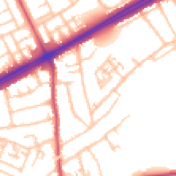
Daytime· 07:00 – 23:00
52.6dB

Night-time· 23:00 – 07:00
42.7dB