9 Chelsworth Drive, Romford, RM3 0ES
About 9 Chelsworth Drive
9 Chelsworth Drive is a three-bedroom semi-detached house in Romford (RM3 0ES). It has a recorded floor area of 89 m² (around 958 sq ft), construction records dating it to 1950-1966 and council tax band E. The latest certificate (June 2018) shows a D (score 61), on the cusp of jumping into the C band. The recommended improvements would push it to C (score 77).
Today's modelled estimate of £530,000 is 23.8% above the 2018 sale price. On a £-per-square-foot basis, the last sale (£447/sq ft) was about 58% above the typical sold price in the postcode. Sold September 2018 for £428,000.
Know exactly what you're buying at 9 Chelsworth Drive
Before you offer, see what the listing won't tell you, the true value, the red flags and the full history.
Already flagged here
Valuation
against the asking price
Risks
planning & flood
Sold prices
similar homes nearby
Trends
the local market
What this property has
Inside
- Bedrooms3
- Bathrooms1
Outside
- Private gardenYes
- GarageIntegral
Building
- RefurbishedYes
Energy performance
EPC Rating
Planning history
9 Chelsworth Drive has no planning applications on record.
Notable planning nearby
6applications of note in the surrounding area
We flagged 2 things worth checking at 9 Chelsworth Drive
Independent checks surfaced things a buyer would want to understand before offering. The report explains each one in full, with the underlying data and what to ask.
- Signs of HMO activity in the area
- Larger development activity nearby
30-day money-back guarantee
Sales history & valuation
9 Chelsworth Drive valuation sits well clear of the typical sold price in this postcode.
£530,000
Modelled from EPC, postcode comparables.
£428,000
Recorded with HM Land Registry.
Sales timeline
19 September 2018Most recent
£428,000
Median price across the last 5 sales in RM3 0ES: £440,000 (2025–2022).
Nearby sales in RM3 0ES
Everything we know about 9 Chelsworth Drive, in one report
What it's really worth, what could be wrong, and the planning, sales and area data in full.
What we flagged
- Signs of HMO activity in the area
- Larger development activity nearby

Versus other Chelsworth Drive homes
Price per m²
£4,809
Street avg £4,137
Floor Area
89 m²
Street avg 93 m²
Habitable Rooms
4 rooms
Street avg 5 rooms
CO₂ Emissions
4.2 t/year
Street avg 4.1 t/year
Similar properties nearby
1 Cavell Crescent, Harold Wood
RM3 0WL
1 Ashflower Drive
RM3 0FL
1 Chelsworth Close
RM3 0ET
1 Cane Hill, Harold Wood
RM3 0WH
1 Blakeborough Drive, Harold Wood
RM3 0WS
1 Aubrietia Close
RM3 0XG
1 Bennison Drive, Harold Wood
RM3 0WJ
1 Archibald Road
RM3 0RD
The neighbourhood at a glance
Rail-style transport is unusually close for this postcode.
Crime
6/mo
Rising year-on-year across the wider district.
Nearest stop
0.2 km
Arundel Road — bus stop.
Closest school
0.8 km
Harold Court Primary School. 19 schools nearby.
Go deeper on the local area
The full report breaks down crime, transport links, schools and air quality in depth.
Road noise across the postcode
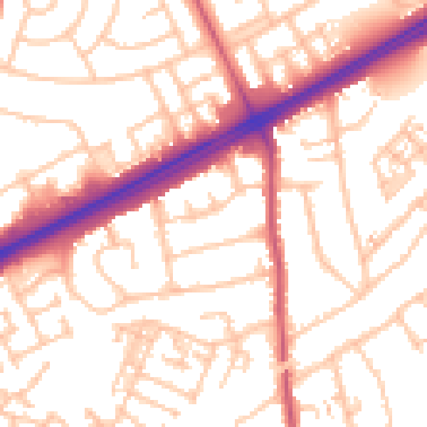
Daytime· 07:00 – 23:00
54.1dB

Night-time· 23:00 – 07:00
43.1dB