Are you a property professional?Get qualified leads from motivated homeowners.
Get started36 Churchill Road, Smallfield, Horley, RH6 9NY
About 36 Churchill Road
A plain-English summary derived from public records, EPC certificates, sold prices and local data.
36 Churchill Road is a two-bedroom detached house in Smallfield, Horley, Horley (RH6 9NY). It has a recorded floor area of 72 m² (around 775 sq ft), construction records dating it to 1950-1966 and council tax band C. At 72 m² this is the 44th smallest of 49 units on EPC record in the building, where floor areas span 37–74 m². The building's EPC ratings span E to C, with this unit at the top. The latest certificate (June 2020) shows a C (score 70).
At 72 m² the property is well over the postcode median (48 m² across 48 EPCs), placing it in the larger end of the local stock. Its energy rating outperforms most of the postcode (better than 81% of similar EPCs). Today's modelled estimate of £247,000 is 17.6% above the 2021 sale price. On a £-per-square-foot basis, the last sale (£271/sq ft) was about 32.1% above the typical sold price in the postcode. Sold September 2021 for £210,000. That sale was during the post-pandemic price surge, when transactions cleared materially above pre-2020 trend.
What this property has
Pulled from EPC certificates, claim submissions and our property model. Empty categories are hidden — we only show what's known.
Inside
- Bedrooms2
- Bathrooms1
- Dining roomYes
Outside
- Private garden
Energy performance
Every EPC certificate filed against this property — current rating, recorded improvements, and where there's headroom to reach a higher band.
EPC Rating
A
B
C
C70
D
E
F
G
Main Heating
Gas
Main Fuel
Gas
Hot Water
Good
Windows
Average
CO2 Emissions
2.7 t/year
Occupancy
Owner Occupied
Sales history & valuation
Recorded transactions, our model's current estimate, and a quick read on what neighbouring properties have sold for.
The latest sale landed in the post-pandemic price surge — useful context when reading the figure.
Current estimate
See how we calculated this£247,000
Modelled from EPC, postcode comparables.
Last sold (2021)
£210,000
Recorded with HM Land Registry.
Sales timeline
Launch offer · 33% off
Buying 36 Churchill Road, Smallfield, Horley, RH6 9NY? Know what you're getting into
Everything a buyer needs to know about this property, compiled into one in-depth report so there are no surprises after you offer.
Spot red flags before you buy
An AI-written breakdown of everything that matters
Versus other Churchill Road homes
Four headline reads against 48 similar flats on this street, drawn from the latest EPC and Land Registry data.
36 Churchill Road is notably below the street on years held.
Price per m²
£2,917
Street avg £2,808
Floor Area
72 m²
Street avg 51 m²
Habitable Rooms
4 rooms
Street avg 2 rooms
Similar properties nearby
A handful of close matches in the same postcode area, ranked by likeness on bedrooms, type and floor area.
The neighbourhood at a glance
A condensed read of the local area. Each tile links through to the full breakdown on the Horley district page.
Crime
26/mo
Steady year-on-year across the wider district.
Nearest stop
0.1 km
Careys Wood — bus stop.
Road noise across the postcode
Modelled day and night-time noise levels around RH6 9NY from Defra's strategic mapping. The pin marks this postcode's centroid.
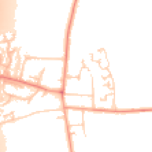
Daytime· 07:00 – 23:00
50.9dB

Everything within walking distance
Schools, transport stops and scenic spots near this property — 34 points of interest in total.
Common questions
The questions buyers, sellers and homeowners most often ask about 36 Churchill Road, Smallfield, Horley, RH6 9NY. Each answer is also embedded as structured data for search engines.
