9 Sherwood Drive, Haywards Heath, RH16 1EW
About 9 Sherwood Drive
9 Sherwood Drive is a detached house in Haywards Heath (RH16 1EW). It has a recorded floor area of 145 m² (around 1561 sq ft), construction records dating it to 1976-1982 and council tax band F. The latest certificate (October 2014) shows a D (score 66), on the cusp of jumping into the C band. The recommended improvements would lift it to B (score 81), a 2-band jump. The latest certificate is from October 2014, so improvements made since then won't be reflected.
Held since June 1997 — that's 29 years off the open market, well above the local norm. Only one transfer is on record with HM Land Registry, suggesting it has stayed in the same hands for a long time. Today's modelled estimate of £744,000 sits 328.8% above the 1997 sale of £173,500. On a £-per-square-foot basis, the last sale (£111/sq ft) was about 69.6% below the postcode norm. One planning record on file: an extension approved in 2013. Past consents include an extension, meaningful when judging how the property has evolved.
Everything you need to know about 9 Sherwood Drive
The true value, the hidden risks and the full sale history, in one report.
30-day money-back guarantee

The data behind every report


Energy performance
Recommended upgrades on file would lift this property by multiple EPC bands.
EPC Expired
This certificate is over 10 years old and is no longer valid.Expired 15 Oct 2024
EPC Rating
Planning history
9 Sherwood Drive has an approved single-storey rear extension on the planning record.
- Aug 2013ExtensionOutlineIn report
Extension: Single storey · Rear of property
Proposed single storey rear extension with rooflights. This is an application to establish whether the development is lawful: this will be a legal decision where the planning merits of the proposed use cannot be taken into account.
- Documents
- 9 docs on file
- Reference
- 13/02137/LDC
We flagged 1 thing worth checking at 9 Sherwood Drive
Independent checks surfaced things a buyer would want to understand before offering. The report explains each one in full, with the underlying data and what to ask.
- Larger development activity nearby
30-day money-back guarantee
Sales history & valuation
9 Sherwood Drive's modelled value sits at over four times its earliest registered sale price (1997).
£744,000
Modelled from EPC, postcode comparables.
£173,500
Recorded with HM Land Registry.
Sales timeline
22 June 1997Most recent
£173,500
Median price across the last 5 sales in RH16 1EW: £600,000 (2024–2017).
Nearby sales in RH16 1EW
8 Sherwood Drive, Haywards Heath, RH16 1EW
Sold May 2024
£825,00012 Sherwood Drive, Haywards Heath, RH16 1EW
Sold Nov 2021
£640,70015 Sherwood Drive, Haywards Heath, RH16 1EW
Sold Jan 2021
£593,55010 Sherwood Drive, Haywards Heath, RH16 1EW
Sold Oct 2017
£557,50014 Sherwood Drive, Haywards Heath, RH16 1EW
Sold Feb 2015
£620,000
Versus other Sherwood Drive homes
On price per m², 9 Sherwood Drive runs well behind the street norm.
Price per m²
£1,197
Street avg £4,505
Floor Area
145 m²
Street avg 141 m²
Habitable Rooms
7 rooms
Street avg 7 rooms
CO₂ Emissions
5.1 t/year
Street avg 5.4 t/year
Everything you need to know about 9 Sherwood Drive
The true value, the hidden risks and the full sale history, in one report.
30-day money-back guarantee
The data behind every report
Similar properties nearby
The neighbourhood at a glance
Rail-style transport is unusually close for this postcode.
Crime
8/mo
Steady year-on-year across the wider district.
Nearest stop
0.3 km
Nightingale Centre — bus stop.
Closest school
1.1 km
Harlands Primary School. 11 schools nearby.
Go deeper on the local area
The full report breaks down crime, transport links, schools and air quality in depth.
Road noise across the postcode
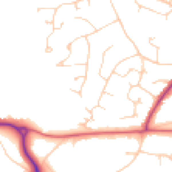
Daytime· 07:00 – 23:00
48.3dB

Night-time· 23:00 – 07:00
39.7dB