4 Lots Drive, Faygate, Horsham, RH12 0BX
About 4 Lots Drive
4 Lots Drive is an end-of-terrace house in Faygate, Horsham, Horsham (RH12 0BX). It has a recorded floor area of 98 m² (around 1055 sq ft). The latest certificate (November 2018) returns a B (score 83), comfortably above the UK average. The recommended improvements would push it to A (score 94).
Everything you need to know about 4 Lots Drive
The true value, the hidden risks and the full sale history, in one report.
Pick your report · every report is £14.99
One time fee only - money back guarantee

The data behind every report


Energy performance
4 Lots Drive's carbon output is low for the local stock.
EPC Rating
Get a survey for this property
Level 2 HomeBuyer Report
We've checked 10 risk factors against the available data for this property and believe a Level 2 HomeBuyer Report could be a suitable option for you.
From £595 · Includes VAT
Planning history
4 Lots Drive has no planning applications on record.
A planning report still maps activity across the surrounding area and reads this property's extension & conversion potential.
Sales history & valuation
4 Lots Drive has no Land Registry sales on file, suggesting it has stayed in the same hands since registration began.
£384,000
Modelled from EPC, postcode comparables.
No sales recorded with HM Land Registry
That can mean the property has never traded since the registry began publishing in 1995, was a new build that hasn't been registered yet, or is held in the same hands long-term.
Median price across the last 5 sales in RH12 0BX: £430,000 (2020–2019).
Nearby sales in RH12 0BX
9 Lots Drive, Faygate, Horsham, RH12 0BX
Sold Mar 2020
£431,6003 Lots Drive, Faygate, Horsham, RH12 0BX
Sold Feb 2020
£430,0007 Lots Drive, Faygate, Horsham, RH12 0BX
Sold Jul 2019
£420,0005 Lots Drive, Faygate, Horsham, RH12 0BX
Sold Jul 2019
£414,0001 Lots Drive, Faygate, Horsham, RH12 0BX
Sold May 2019
£439,950
Versus other Lots Drive homes
On epc rating, 4 Lots Drive runs well behind the street norm.
EPC Rating
83 (B)
Street avg 84 (B)
Floor Area
98 m²
Street avg 102 m²
CO₂ Emissions
1.5 t/year
Street avg 1.5 t/year
Everything you need to know about 4 Lots Drive
The true value, the hidden risks and the full sale history, in one report.
Pick your report · every report is £14.99
One time fee only - money back guarantee
The data behind every report
Similar properties nearby
The neighbourhood at a glance
Crime
2/mo
Steady year-on-year across the wider district.
Nearest stop
0.1 km
Somerset Road — bus stop.
Closest school
0.4 km
Kilnwood Vale Primary School. 15 schools nearby.
Go deeper on the local area
A Local Area report breaks down crime, transport links, schools and air quality in depth.
Road noise across the postcode
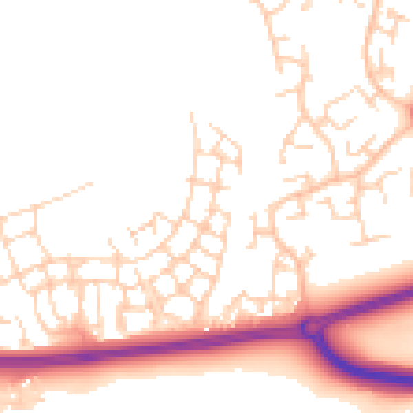
Daytime· 07:00 – 23:00
51.4dB

Night-time· 23:00 – 07:00
42.1dB