3 Orchard Crescent, Faygate, Horsham, RH12 0BN
About 3 Orchard Crescent
3 Orchard Crescent is an end-of-terrace house in Faygate, Horsham, Horsham (RH12 0BN). It has a recorded floor area of 80 m² (around 861 sq ft). The latest certificate (November 2019) returns a B (score 84), comfortably above the UK average. The recommended improvements would push it to A (score 96).
Today's modelled estimate of £392,000 is 10.4% above the 2019 sale price. Most recent transfer: November 2019 at £354,950.
Everything you need to know about 3 Orchard Crescent
The true value, the hidden risks and the full sale history, in one report.
Pick your report · every report is £14.99
One time fee only - money back guarantee

The data behind every report


Energy performance
3 Orchard Crescent's carbon output is low for the local stock.
EPC Rating
Get a survey for this property
Level 2 HomeBuyer Report
We've checked 10 risk factors against the available data for this property and believe a Level 2 HomeBuyer Report could be a suitable option for you.
From £595 · Includes VAT
Planning history
3 Orchard Crescent has no planning applications on record.
A planning report still maps activity across the surrounding area and reads this property's extension & conversion potential.
Sales history & valuation
£392,000
Modelled from EPC, postcode comparables.
£354,950
Recorded with HM Land Registry.
Sales timeline
22 November 2019Most recent
£354,950
Median price across the last 3 sales in RH12 0BN: £360,000 (2025–2019).
Nearby sales in RH12 0BN
Versus other Orchard Crescent homes
EPC Rating
84 (B)
Street avg 85 (B)
Floor Area
80 m²
Street avg 86 m²
CO₂ Emissions
1.2 t/year
Street avg 1.2 t/year
Everything you need to know about 3 Orchard Crescent
The true value, the hidden risks and the full sale history, in one report.
Pick your report · every report is £14.99
One time fee only - money back guarantee
The data behind every report
Similar properties nearby
1 Hop Link, Faygate
RH12 0BJ
1 Fourteenth Street, Faygate
RH12 0DR
1 Calico Street, Faygate
RH12 0BG
1 Holmbush End, Faygate
RH12 0AL
1 Crows Wood, Faygate
RH12 0BT
1 Brewers Way, Faygate
RH12 0DA
1 Beeches Way, Faygate
RH12 0AB
1 Bricklayer Lane, Faygate
RH12 0AA
The neighbourhood at a glance
Crime
2/mo
Steady year-on-year across the wider district.
Nearest stop
0.3 km
Francis Edwards Way — bus stop.
Closest school
0.4 km
Kilnwood Vale Primary School. 13 schools nearby.
Go deeper on the local area
A Local Area report breaks down crime, transport links, schools and air quality in depth.
Road noise across the postcode
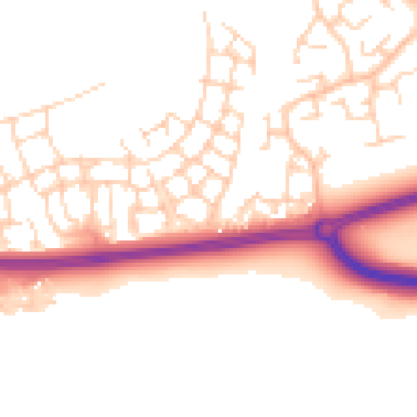
Daytime· 07:00 – 23:00
52.0dB

Night-time· 23:00 – 07:00
43.0dB