124 Illett Way, Faygate, Horsham, RH12 0BL
About 124 Illett Way
124 Illett Way is a semi-detached house in Faygate, Horsham, Horsham (RH12 0BL). It has a recorded floor area of 71 m² (around 764 sq ft). The latest certificate (November 2018) returns a B (score 83), comfortably above the UK average. The recommended improvements would push it to A (score 96).
On a £-per-square-foot basis, the last sale (£445/sq ft) was about 15.9% above the typical sold price in the postcode. At 71 m² it's 24.5% smaller than the typical home in the postcode (94 m² median across 43 EPCs). Most recent transfer: February 2019 at £339,950.
Everything you need to know about 124 Illett Way
The true value, the hidden risks and the full sale history, in one report.
Pick your report · every report is £14.99
One time fee only - money back guarantee

The data behind every report


Energy performance
124 Illett Way's carbon output is low for the local stock.
EPC Rating
Get a survey for this property
Level 2 HomeBuyer Report
We've checked 10 risk factors against the available data for this property and believe a Level 2 HomeBuyer Report could be a suitable option for you.
From £595 · Includes VAT
Planning history
124 Illett Way has no planning applications on record.
A planning report still maps activity across the surrounding area and reads this property's extension & conversion potential.
Sales history & valuation
£372,000
Modelled from EPC, postcode comparables.
£339,950
Recorded with HM Land Registry.
Sales timeline
28 February 2019Most recent
£339,950
Median price across the last 5 sales in RH12 0BL: £325,000 (2025–2024).
Nearby sales in RH12 0BL
136 Illett Way, Faygate, Horsham, RH12 0BL
Sold Jun 2025
£325,00082 Illett Way, Faygate, Horsham, RH12 0BL
Sold Mar 2025
£262,500108 Illett Way, Faygate, Horsham, RH12 0BL
Sold Dec 2024
£390,000148 Illett Way, Faygate, Horsham, RH12 0BL
Sold Nov 2024
£445,00094 Illett Way, Faygate, Horsham, RH12 0BL
Sold Jun 2024
£211,000
Versus other Illett Way homes
124 Illett Way outperforms the street on co₂ emissions by a wide margin.
Price per m²
£4,788
Street avg £4,247
Floor Area
71 m²
Street avg 94 m²
CO₂ Emissions
1.1 t/year
Street avg 1.4 t/year
Years Held
7 years
Street avg 5 years
Everything you need to know about 124 Illett Way
The true value, the hidden risks and the full sale history, in one report.
Pick your report · every report is £14.99
One time fee only - money back guarantee
The data behind every report
Similar properties nearby
The neighbourhood at a glance
Crime
2/mo
Steady year-on-year across the wider district.
Nearest stop
0.1 km
Somerset Road — bus stop.
Closest school
0.3 km
Kilnwood Vale Primary School. 14 schools nearby.
Go deeper on the local area
A Local Area report breaks down crime, transport links, schools and air quality in depth.
Road noise across the postcode
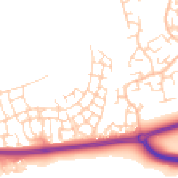
Daytime· 07:00 – 23:00
51.2dB

Night-time· 23:00 – 07:00
41.9dB