3 Calico Street, Faygate, Horsham, RH12 0BG
About 3 Calico Street
3 Calico Street is an end-of-terrace house in Faygate, Horsham, Horsham (RH12 0BG). It has a recorded floor area of 80 m² (around 861 sq ft). The latest certificate (September 2018) returns a B (score 84), comfortably above the UK average. The recommended improvements would push it to A (score 96).
At 80 m² it's 16.7% smaller than the typical home in the postcode (96 m² median across 10 EPCs). Most recent transfer: October 2018 at £345,000.
Everything you need to know about 3 Calico Street
The true value, the hidden risks and the full sale history, in one report.
Pick your report · every report is £14.99
One time fee only - money back guarantee

The data behind every report


Energy performance
3 Calico Street's carbon output is low for the local stock.
EPC Rating
Get a survey for this property
Level 2 HomeBuyer Report
We've checked 10 risk factors against the available data for this property and believe a Level 2 HomeBuyer Report could be a suitable option for you.
From £595 · Includes VAT
Planning history
3 Calico Street has no planning applications on record.
A planning report still maps activity across the surrounding area and reads this property's extension & conversion potential.
Sales history & valuation
£378,000
Modelled from EPC, postcode comparables.
£345,000
Recorded with HM Land Registry.
Sales timeline
25 October 2018Most recent
£345,000
Median price across the last 5 sales in RH12 0BG: £364,950 (2022–2019).
Nearby sales in RH12 0BG
16 Calico Street, Faygate, Horsham, RH12 0BG
Sold Dec 2022
£415,00014 Calico Street, Faygate, Horsham, RH12 0BG
Sold May 2019
£364,9504 Calico Street, Faygate, Horsham, RH12 0BG
Sold May 2019
£364,95012 Calico Street, Faygate, Horsham, RH12 0BG
Sold Apr 2019
£369,00010 Calico Street, Faygate, Horsham, RH12 0BG
Sold Feb 2019
£371,000
Versus other Calico Street homes
3 Calico Street outperforms the street on years held by a wide margin.
Price per m²
£4,313
Street avg £3,934
Floor Area
80 m²
Street avg 96 m²
CO₂ Emissions
1.2 t/year
Street avg 1.2 t/year
Years Held
8 years
Street avg 7 years
Everything you need to know about 3 Calico Street
The true value, the hidden risks and the full sale history, in one report.
Pick your report · every report is £14.99
One time fee only - money back guarantee
The data behind every report
Similar properties nearby
The neighbourhood at a glance
Crime
2/mo
Steady year-on-year across the wider district.
Nearest stop
0.3 km
Somerset Road — bus stop.
Closest school
0.4 km
Kilnwood Vale Primary School. 13 schools nearby.
Go deeper on the local area
A Local Area report breaks down crime, transport links, schools and air quality in depth.
Road noise across the postcode
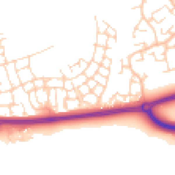
Daytime· 07:00 – 23:00
51.7dB

Night-time· 23:00 – 07:00
42.6dB