29 Bourne Road, Pangbourne, Reading, RG8 7JT
About 29 Bourne Road
29 Bourne Road is a semi-detached house in Pangbourne, Reading, Reading (RG8 7JT). It has a recorded floor area of 92 m² (around 990 sq ft), construction records dating it to 1930-1949 and council tax band D. The latest certificate (July 2019) shows a D (score 59), a step below the typical UK home. The recommended improvements would lift it to B (score 86), a 2-band jump.
Today's modelled estimate of £444,000 is 24% above the 2019 sale price. On a £-per-square-foot basis, the last sale (£362/sq ft) was about 48% above the typical sold price in the postcode. Most recent transfer: September 2019 at £358,000.
Everything you need to know about 29 Bourne Road
The true value, the hidden risks and the full sale history, in one report.
30-day money-back guarantee

The data behind every report


Energy performance
Recommended upgrades on file would lift this property by multiple EPC bands.
EPC Rating
Planning history
29 Bourne Road has no planning applications on record.
Notable planning nearby
1applications of note in the surrounding area
We flagged 1 thing worth checking at 29 Bourne Road
Independent checks surfaced things a buyer would want to understand before offering. The report explains each one in full, with the underlying data and what to ask.
- Larger development activity nearby
30-day money-back guarantee
Sales history & valuation
29 Bourne Road valuation sits well clear of the typical sold price in this postcode.
£444,000
Modelled from EPC, postcode comparables.
£358,000
Recorded with HM Land Registry.
Sales timeline
5 September 2019Most recent
£358,000
Median price across the last 5 sales in RG8 7JT: £497,500 (2025–2023).
Nearby sales in RG8 7JT
49 Bourne Road, Pangbourne, Reading, RG8 7JT
Sold Jun 2025
£360,000153 Bourne Road, Pangbourne, Reading, RG8 7JT
Sold Feb 2024
£625,00031 Bourne Road, Pangbourne, Reading, RG8 7JT
Sold Aug 2023
£560,000161 Bourne Road, Pangbourne, Reading, RG8 7JT
Sold Aug 2023
£365,00011 Bourne Road, Pangbourne, Reading, RG8 7JT
Sold Jul 2023
£497,500
Versus other Bourne Road homes
EPC Rating for 29 Bourne Road lags the street by a wide margin.
Price per m²
£3,891
Street avg £3,323
Floor Area
92 m²
Street avg 84 m²
Habitable Rooms
5 rooms
Street avg 4 rooms
CO₂ Emissions
4.9 t/year
Street avg 3.4 t/year
Everything you need to know about 29 Bourne Road
The true value, the hidden risks and the full sale history, in one report.
30-day money-back guarantee
The data behind every report
Similar properties nearby
1 Bridge Cottages, High Street, Whitchurch On Thames
RG8 7DE
1 Chiltern Walk, Pangbourne
RG8 7LE
1 Dunluce Gardens, Pangbourne
RG8 7LA
1 Firhill Cottages, High Street, Whitchurch On Thames
RG8 7HQ
1 Bourne Road, Pangbourne
RG8 7JT
1 Church Cottage, Whitchurch Hill
RG8 7NY
1 East Lodge, Hardwick, Whitchurch On Thames
RG8 7RB
1 Bec Tithe, Whitchurch Hill
RG8 7NP
The neighbourhood at a glance
Rail-style transport is unusually close for this postcode.
Crime
2/mo
Steady year-on-year across the wider district.
Nearest stop
0.2 km
Primary School — bus stop.
Closest school
0.2 km
Pangbourne Primary School. 8 schools nearby.
Go deeper on the local area
The full report breaks down crime, transport links, schools and air quality in depth.
Road noise across the postcode
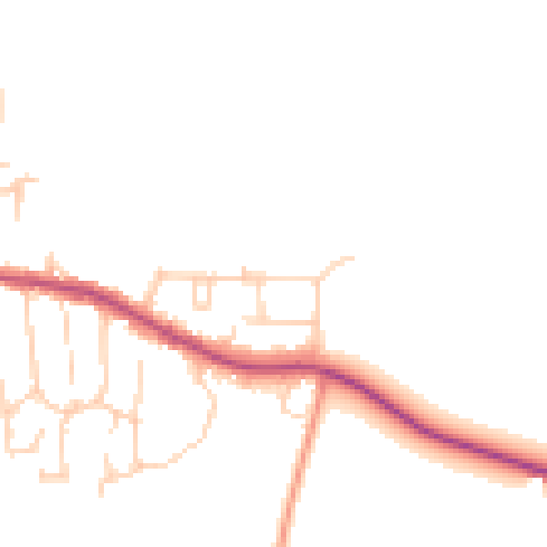
Daytime· 07:00 – 23:00
45.6dB

Night-time· 23:00 – 07:00
38.2dB