Model valuation£417,0008 Busby Close
Local market context
11 Henley Road is a three-bedroom detached house in Caversham, Reading, Reading (RG4 6DS). It has a recorded floor area of 101 m² (around 1087 sq ft), construction records dating it to before 1900 and council tax band E. The latest certificate (July 2017) shows an F (score 38), near the bottom of the EPC scale. The recommended improvements would lift it to C (score 79), a 3-band jump. Period features are noted in the property record.
At 101 m² it's 17.4% larger than the typical home in the postcode (86 m² median across 32 EPCs). On energy efficiency it sits in the bottom 10% of properties in this postcode — significant headroom for improvement. 2 planning records sit against the property, 2 approved, 0 refused. Past consents include an extension and partial demolition, meaningful when judging how the property has evolved. Across 1997–2018, sale prices on this property compounded at 6.6% per year. Today's modelled estimate of £602,000 is 27.3% above the 2018 sale price. On a £-per-square-foot basis, the last sale (£435/sq ft) was about 83.7% above the typical sold price in the postcode. Last changed hands 8 years ago, in March 2018.
The true value, the hidden risks and the full sale history, in one report.
Pick your report · from £14.99
One time fee only - money back guarantee

The data behind every report


11 Henley Road sits at the bottom of the postcode for energy efficiency — meaningful headroom to improve.
Certificate validity
Valid until 11 July 2027

Get a survey for this property
Because the property was built before 1919 and has solid (non-cavity) walls, we believe a Level 3 building survey should be considered.
From £1,155 · Includes VAT
Planning history includes recorded demolition works, indicating a major rebuild phase at this address.
2 applications on record at 11 Henley Road, Caversham, Reading, RG4 6DS
Extension: Single storey · Rear of property
Demolition of out buildings, single story rear extension, conversion of garage to home office, new raised decking, and raised planting withassociated landscaping.
You're seeing the shape of it. The report has the substance.
One time fee only - money back guarantee
Sale price has grown by over 3x since 1997.
£602,000
Modelled from EPC, postcode comparables and a sale-price growth of 6.6% per year over 20 years.
£473,000
Growth on file: 6.6% per year over 20 years.
1 March 2018Most recent
£473,000
+263.8%over 20 years28 November 1997
£130,000
Median price across the last 5 sales in RG4 6DS: £590,000 (2025–2021).
101a, Henley Road, Caversham, Reading, RG4 6DS
Sold Apr 2025
Flat 4, 91 Henley Road, Caversham, Reading, RG4 6DS
Sold Sept 2024
83 Henley Road, Caversham, Reading, RG4 6DS
Sold Jun 2022
87a, Henley Road, Caversham, Reading, RG4 6DS
Sold Aug 2021
79 Henley Road, Caversham, Reading, RG4 6DS
Sold Jun 2021
11 Henley Road is notably below the street on epc rating.
Price per m²
£4,683
Street avg £4,265
Floor Area
101 m²
Street avg 138 m²
Habitable Rooms
6 rooms
Street avg 6 rooms
CO₂ Emissions
8.1 t/year
Street avg 5.6 t/year
Property research, connected
Explore sale histories, valuations, energy ratings and local areas. Ask the assistant to connect the details and take your research further.
Start your researchRG4 6LA
RG4 6NT
RG4 6NH
RG4 6QX
RG4 6RX
RG4 6NP
RG4 6DA
RG4 6RY
Daytime road noise here sits well below conversation level — a quiet pocket of the postcode.
Crime
134/mo
Steady year-on-year across the wider district.
Nearest stop
0.2 km
Rufus Isaacs Road — bus stop.
Closest school
0.3 km
St Anne's Catholic Primary School. 27 schools nearby.
Go deeper on the local area
A Local Area report breaks down crime, transport links, schools and air quality in depth.
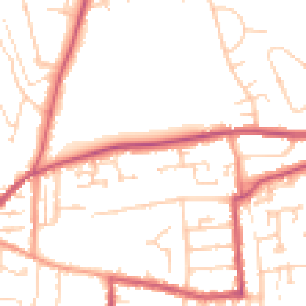
Daytime· 07:00 – 23:00
49.6dB

Night-time· 23:00 – 07:00
40.5dB