8 Carrington Crescent, Tadley, RG26 4XE
About 8 Carrington Crescent
8 Carrington Crescent is a three-bedroom end-of-terrace house in Tadley (RG26 4XE). It has a recorded floor area of 107 m² (around 1152 sq ft), construction records dating it to 1976-1982 and council tax band D. The latest certificate (March 2021) shows a C (score 71). The recommended improvements would push it to B (score 84).
Most recent transfer was June 2025 at £390,000 — fresh data. Across the public record there are 7 sales, relatively high churn for a single property. One planning record on file: an extension approved in 2006. Past consents include an extension and a conservatory, meaningful when judging how the property has evolved. At 107 m² it's 21.6% larger than the typical home in the postcode (88 m² median across 9 EPCs). Its energy rating outperforms most of the postcode (better than 89% of similar EPCs). Across 2002–2025, sale prices on this property compounded at 4.3% per year. On a £-per-square-foot basis, the last sale (£339/sq ft) was about 107.1% above the typical sold price in the postcode.
Know exactly what you're buying at 8 Carrington Crescent
Before you offer, see what the listing won't tell you, the true value, the red flags and the full history.
Already flagged here
Valuation
against the asking price
Risks
planning & flood
Sold prices
similar homes nearby
Trends
the local market
What this property has
Inside
- Bedrooms3
- Bathrooms1
- Open-plan layoutYes
- Dining roomYes
- Utility roomYes
- CloakroomYes
Outside
- Private gardenYes
Energy performance
EPC Rating
Planning history
8 Carrington Crescent has an approved rear extension on the planning record.
- Mar 2006ConservatoryFullIn report
Extension: Rear of property
Erection of a rear conservatory
- Agent
- CP Architectural Services
Extension- Documents
- 4 docs on file
- Reference
- BDB/62828
We flagged 1 thing worth checking at 8 Carrington Crescent
Independent checks surfaced things a buyer would want to understand before offering. The report explains each one in full, with the underlying data and what to ask.
- Larger development activity nearby
30-day money-back guarantee
Sales history & valuation
Latest sale on 8 Carrington Crescent was the highest on Land Registry record across the postcode.
£377,000
Modelled from EPC, postcode comparables and a sale-price growth of 4.3% per year over 23 years.
£390,000
Growth on file: 4.3% per year over 23 years.
Sales timeline
26 June 2025Most recent
£390,000
+9.9%over 3 years27 June 2021
£355,000
+10.9%over 5 years26 May 2016
£320,000
+42.2%over 3 years9 August 2012
£225,000
-2.2%over 4 years30 June 2008
£230,000
+22.7%over 5 years27 March 2003
£187,500
+27.6%over 9 months4 July 2002
£147,000
Median price across the last 5 sales in RG26 4XE: £320,000 (2021–2014).
Nearby sales in RG26 4XE
13 Carrington Crescent, Tadley, RG26 4XE
Sold Aug 2021
£190,00012 Carrington Crescent, Tadley, RG26 4XE
Sold Aug 2021
£195,0009 Carrington Crescent, Tadley, RG26 4XE
Sold May 2021
£325,00014 Carrington Crescent, Tadley, RG26 4XE
Sold Mar 2021
£375,0001 Carrington Crescent, Tadley, RG26 4XE
Sold Oct 2013
£218,000
Everything we know about 8 Carrington Crescent, in one report
What it's really worth, what could be wrong, and the planning, sales and area data in full.
What we flagged
- Larger development activity nearby

Versus other Carrington Crescent homes
8 Carrington Crescent is notably below the street on years held.
Price per m²
£3,645
Street avg £2,707
Floor Area
107 m²
Street avg 94 m²
Habitable Rooms
5 rooms
Street avg 5 rooms
CO₂ Emissions
3.7 t/year
Street avg 3.9 t/year
Similar properties nearby
The neighbourhood at a glance
Daytime road noise here sits well below conversation level — a quiet pocket of the postcode.
Crime
3/mo
Steady year-on-year across the wider district.
Nearest stop
0.4 km
The Parade — bus stop.
Closest school
0.5 km
Burnham Copse Primary School. 5 schools nearby.
Go deeper on the local area
The full report breaks down crime, transport links, schools and air quality in depth.
Road noise across the postcode
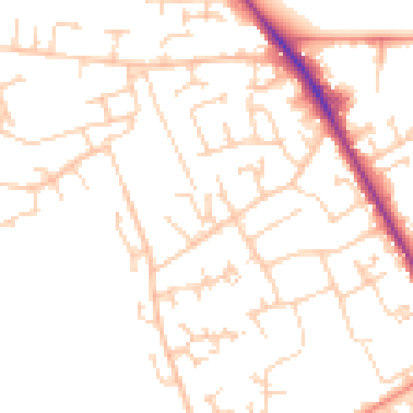
Daytime· 07:00 – 23:00
49.4dB

Night-time· 23:00 – 07:00
39.5dB