47 Almswood Road, Tadley, RG26 4QF
About 47 Almswood Road
47 Almswood Road is a four-bedroom semi-detached house in Tadley (RG26 4QF). It has a recorded floor area of 121 m² (around 1302 sq ft) and council tax band E. Tenure is freehold. The latest certificate (March 2019) shows a C (score 78), near the top of the C band. Earlier certificates rated it B (March 2013); the latest reading is one band lower. Between certificates, roof efficiency went from Good to Very Good; while window efficiency dropped from Very Good to Good. The recommended improvements would push it to B (score 88).
At 121 m² the property is well over the postcode median (84 m² across 24 EPCs), placing it in the larger end of the local stock. Across 2013–2023, sale prices on this property compounded at 3.9% per year. On a £-per-square-foot basis, the last sale (£315/sq ft) was about 30.6% above the typical sold price in the postcode. Most recent transfer: March 2023 at £410,000.
Know exactly what you're buying at 47 Almswood Road
Before you offer, see what the listing won't tell you, the true value, the red flags and the full history.
Already flagged here
Valuation
against the asking price
Risks
planning & flood
Sold prices
similar homes nearby
Trends
the local market
What this property has
Inside
- Bedrooms4
- Bathrooms2
- Dining roomYes
- CloakroomYes
Outside
- GarageYes
Building
- TenureFreehold
Energy performance
EPC Rating
Property Improvements
Changes detected from historical EPC data
Heating controls changed
Roof insulation improved
Planning history
47 Almswood Road has no planning applications on record.
Notable planning nearby
3applications of note in the surrounding area
We flagged 1 thing worth checking at 47 Almswood Road
Independent checks surfaced things a buyer would want to understand before offering. The report explains each one in full, with the underlying data and what to ask.
- Larger development activity nearby
30-day money-back guarantee
Sales history & valuation
Latest sale on 47 Almswood Road was the highest on Land Registry record across the postcode.
£405,000
Modelled from EPC, postcode comparables and a sale-price growth of 3.9% per year over 10 years.
£410,000
Growth on file: 3.9% per year over 10 years.
Sales timeline
30 March 2023Most recent
£410,000
+13.9%over 3 years25 September 2019
£360,000
+28.6%over 6 years15 May 2013
£279,950
Median price across the last 5 sales in RG26 4QF: £325,000 (2024–2017).
Everything we know about 47 Almswood Road, in one report
What it's really worth, what could be wrong, and the planning, sales and area data in full.
What we flagged
- Larger development activity nearby

Versus other Almswood Road homes
Habitable Rooms for 47 Almswood Road runs comfortably ahead of the street norm.
Price per m²
£3,388
Street avg £3,028
Floor Area
121 m²
Street avg 97 m²
Habitable Rooms
45 rooms
Street avg 4 rooms
CO₂ Emissions
2.5 t/year
Street avg 2.5 t/year
Similar properties nearby
The neighbourhood at a glance
Crime
3/mo
Steady year-on-year across the wider district.
Nearest stop
0.2 km
Falcon Fields — bus stop.
Closest school
0.4 km
Burnham Copse Primary School. 6 schools nearby.
Go deeper on the local area
The full report breaks down crime, transport links, schools and air quality in depth.
Road noise across the postcode
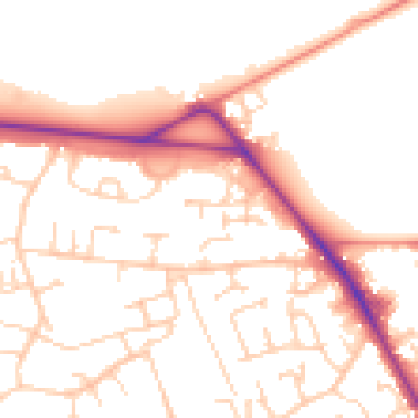
Daytime· 07:00 – 23:00
51.8dB

Night-time· 23:00 – 07:00
42.1dB