24 Benham Place, Tadley, RG26 4AA
About 24 Benham Place
24 Benham Place is an end-of-terrace house in Tadley (RG26 4AA). It has a recorded floor area of 70 m² (around 753 sq ft). The latest certificate (March 2020) returns a B (score 83), comfortably above the UK average. The recommended improvements would push it to A (score 96).
Today's modelled estimate of £226,000 is 32% below the 2025 sale of £332,500, running counter to the wider postcode trend, which makes the EPC and condition history especially worth a look. It changed hands recently, sold November 2025 for £332,500. At 70 m² it's 16.7% smaller than the typical home in the postcode (84 m² median across 35 EPCs).
Know exactly what you're buying at 24 Benham Place
Before you offer, see what the listing won't tell you, the true value, the red flags and the full history.
Already flagged here
Valuation
against the asking price
Risks
planning & flood
Sold prices
similar homes nearby
Trends
the local market
Energy performance
24 Benham Place's carbon output is low for the local stock.
EPC Rating
Planning history
24 Benham Place has no planning applications on record.
Notable planning nearby
3applications of note in the surrounding area
We flagged 1 thing worth checking at 24 Benham Place
Independent checks surfaced things a buyer would want to understand before offering. The report explains each one in full, with the underlying data and what to ask.
- Larger development activity nearby
30-day money-back guarantee
Sales history & valuation
£226,000
Modelled from EPC, postcode comparables.
£332,500
Recorded with HM Land Registry.
Sales timeline
21 November 2025Most recent
£332,500
Everything we know about 24 Benham Place, in one report
What it's really worth, what could be wrong, and the planning, sales and area data in full.
What we flagged
- Larger development activity nearby

Versus other Benham Place homes
Floor Area for 24 Benham Place lags the street by a wide margin.
EPC Rating
83 (B)
Street avg 83 (B)
Floor Area
70 m²
Street avg 83 m²
CO₂ Emissions
1.2 t/year
Street avg 1.4 t/year
Similar properties nearby
The neighbourhood at a glance
Crime
3/mo
Steady year-on-year across the wider district.
Nearest stop
0.3 km
Bishopswood Road Shops — bus stop.
Closest school
0.1 km
Burnham Copse Primary School. 5 schools nearby.
Go deeper on the local area
The full report breaks down crime, transport links, schools and air quality in depth.
Road noise across the postcode
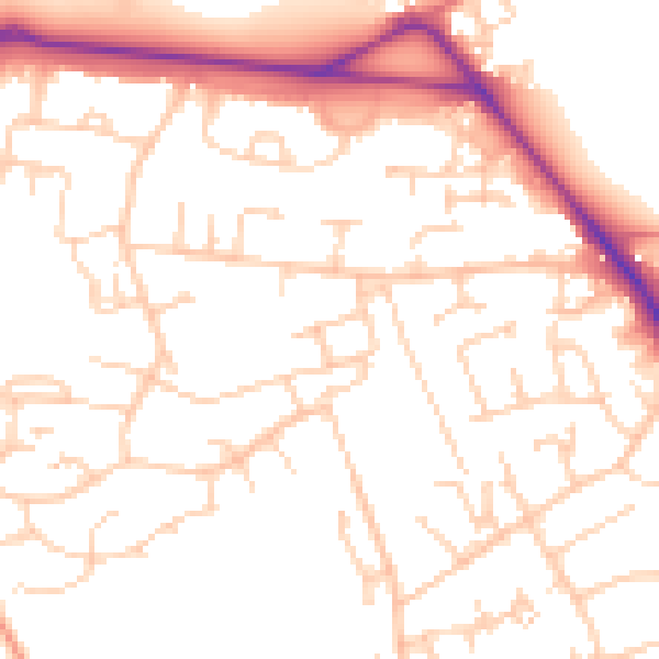
Daytime· 07:00 – 23:00
51.4dB

Night-time· 23:00 – 07:00
41.1dB