Harrowside, The Harrow Way, Basingstoke, RG22 4BE
About Harrowside
Harrowside is a four-bedroom detached house in Basingstoke (RG22 4BE). It has a recorded floor area of 146 m² (around 1572 sq ft), construction records dating it to 1976-1982 and council tax band E. The latest certificate (February 2018) shows a D (score 66), on the cusp of jumping into the C band. Earlier certificates rated it C (November 2017); the latest reading is one band lower. Between certificates, window efficiency dropped from Good to Average. The recommended improvements would lift it to B (score 81), a 2-band jump. Other recorded features include a conservatory.
Last changed hands 8 years ago, in April 2018. Across 2001–2018, sale prices on this property compounded at 5.4% per year. Today's modelled estimate of £635,000 is 22.1% above the 2018 sale price.
What this property has
Inside
- Bedrooms4
- Bathrooms2
- Dining roomYes
- CloakroomYes
- EnsuiteYes
- ConservatoryYes
Outside
- Private gardenSouth-facing
- GarageYes
Everything you need to know about Harrowside
The true value, the hidden risks and the full sale history, in one report.
30-day money-back guarantee

The data behind every report


Energy performance
Recommended upgrades on file would lift this property by multiple EPC bands.
EPC Rating
Planning history
Harrowside has no planning applications on record.
Notable planning nearby
3applications of note in the surrounding area
We flagged 1 thing worth checking at Harrowside
Independent checks surfaced things a buyer would want to understand before offering. The report explains each one in full, with the underlying data and what to ask.
- Larger development activity nearby
30-day money-back guarantee
Sales history & valuation
Sale price has at least doubled since 2001.
£635,000
Modelled from EPC, postcode comparables and a sale-price growth of 5.4% per year over 17 years.
£520,000
Growth on file: 5.4% per year over 17 years.
Sales timeline
5 April 2018Most recent
£520,000
+147.6%over 17 years9 February 2001
£210,000
Everything you need to know about Harrowside
The true value, the hidden risks and the full sale history, in one report.
30-day money-back guarantee
The data behind every report
Similar properties nearby
1 Blunt Road, Beggarwood
RG22 4SS
1 Beverley Close
RG22 4BT
1 Alderney Avenue
RG22 4UA
1 Berewyk Close
RG22 4TG
1 Breadels Field, Beggarwood
RG22 4RZ
1 Balmoral Way
RG22 4YB
1 Beach Piece Way
RG22 4TQ
1 Aurora Drive, Beggarwood
RG22 4FH
The neighbourhood at a glance
Crime
7/mo
Steady year-on-year across the wider district.
Nearest stop
0.1 km
Cumberland Avenue — bus stop.
Closest school
0.4 km
Brighton Hill Community School. 28 schools nearby.
Go deeper on the local area
The full report breaks down crime, transport links, schools and air quality in depth.
Road noise across the postcode
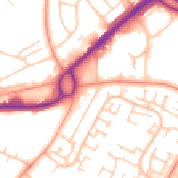
Daytime· 07:00 – 23:00
54.1dB

Night-time· 23:00 – 07:00
44.2dB