6 Barley Close, Thatcham, RG19 4YJ
About 6 Barley Close
6 Barley Close is a four-bedroom semi-detached house in Thatcham (RG19 4YJ). It has a recorded floor area of 104 m² (around 1119 sq ft), construction records dating it to 1983-1990 and council tax band E. The latest certificate (February 2026) shows a C (score 76), near the top of the C band. The recommended improvements would push it to B (score 86). This certificate was lodged in the last six months, so the rating reflects current condition.
At 104 m² the property is well over the postcode median (70 m² across 5 EPCs), placing it in the larger end of the local stock. One planning record on file: an extension approved in 2021. Past consents include an extension, meaningful when judging how the property has evolved. On the market in April 2018 and unlisted since — roughly 8 years. Across 2005–2018, sale prices on this property compounded at 3.5% per year.
Know exactly what you're buying at 6 Barley Close
Before you offer, see what the listing won't tell you, the true value, the red flags and the full history.
Already flagged here
Valuation
against the asking price
Risks
planning & flood
Sold prices
similar homes nearby
Trends
the local market
What this property has
Inside
- Bedrooms4
- Bathrooms1
Energy performance
The EPC has just been inspected, so the rating reflects current condition.
EPC Rating
Planning history
6 Barley Close has an approved single-storey rear extension on the planning record.
- Nov 2021ExtensionFullIn report
Extension: Single storey · Rear of property
Proposed single storey rear extension
- Documents
- 9 docs on file
- Reference
- 21/02277/HOUSE
We flagged 1 thing worth checking at 6 Barley Close
Independent checks surfaced things a buyer would want to understand before offering. The report explains each one in full, with the underlying data and what to ask.
- Larger development activity nearby
30-day money-back guarantee
Sales history & valuation
6 Barley Close valuation sits well clear of the typical sold price in this postcode.
£370,000
Modelled from EPC, postcode comparables and a sale-price growth of 3.5% per year over 13 years.
£352,500
Growth on file: 3.5% per year over 13 years.
Sales timeline
2 April 2018Most recent
£352,500
+41.0%over 4 years21 August 2013
£250,000
+11.1%over 8 years19 May 2005
£225,000
Median price across the last 5 sales in RG19 4YJ: £350,000 (2025–2019).
Everything we know about 6 Barley Close, in one report
What it's really worth, what could be wrong, and the planning, sales and area data in full.
What we flagged
- Larger development activity nearby

Versus other Barley Close homes
6 Barley Close is notably below the street on price per m².
Price per m²
£3,389
Street avg £4,529
Floor Area
104 m²
Street avg 83 m²
Habitable Rooms
6 rooms
Street avg 5 rooms
CO₂ Emissions
2.5 t/year
Street avg 2.9 t/year
Similar properties nearby
The neighbourhood at a glance
Rail-style transport is unusually close for this postcode.
Crime
3/mo
Steady year-on-year across the wider district.
Nearest stop
0.1 km
Betteridge Road — bus stop.
Closest school
0.6 km
Kennet School. 8 schools nearby.
Go deeper on the local area
The full report breaks down crime, transport links, schools and air quality in depth.
Road noise across the postcode
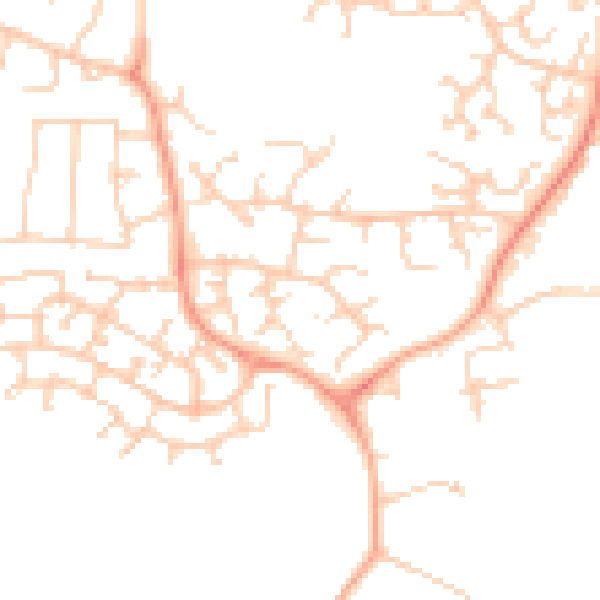
Daytime· 07:00 – 23:00
48.4dB

Night-time· 23:00 – 07:00
37.4dB