85 Cresswell Road, Newbury, RG14 2PQ
About 85 Cresswell Road
85 Cresswell Road is an end-of-terrace house in Newbury (RG14 2PQ). It has a recorded floor area of 78 m² (around 840 sq ft), construction records dating it to 1976-1982 and council tax band C. The latest certificate (August 2014) shows a D (score 58), a step below the typical UK home. The recommended improvements would lift it to B (score 86), a 2-band jump. The latest certificate is from August 2014, so improvements made since then won't be reflected.
Across 1998–2023, sale prices on this property compounded at 6% per year. On a £-per-square-foot basis, the last sale (£328/sq ft) was about 100.9% above the typical sold price in the postcode. At 78 m² it's 17% smaller than the typical home in the postcode (94 m² median across 49 EPCs). Last sale on file: £275,000 in November 2023.
Know exactly what you're buying at 85 Cresswell Road
Before you offer, see what the listing won't tell you, the true value, the red flags and the full history.
Already flagged here
Valuation
against the asking price
Risks
planning & flood
Sold prices
similar homes nearby
Trends
the local market
Energy performance
Recommended upgrades on file would lift this property by multiple EPC bands.
EPC Expired
This certificate is over 10 years old and is no longer valid.Expired 31 Aug 2024
EPC Rating
Planning history
85 Cresswell Road has no planning applications on record.
Notable planning nearby
2applications of note in the surrounding area
We flagged 1 thing worth checking at 85 Cresswell Road
Independent checks surfaced things a buyer would want to understand before offering. The report explains each one in full, with the underlying data and what to ask.
- Larger development activity nearby
30-day money-back guarantee
Sales history & valuation
Price for 85 Cresswell Road has grown more than fourfold since the 1998 starting point.
£286,000
Modelled from EPC, postcode comparables and a sale-price growth of 6.0% per year over 25 years.
£275,000
Growth on file: 6.0% per year over 25 years.
Sales timeline
10 November 2023Most recent
£275,000
+23.3%over 4 years7 April 2019
£223,000
+27.4%over 4 years25 September 2014
£175,000
+9.4%over 5 years26 July 2009
£160,000
+1.9%over 2 years1 December 2006
£157,000
+65.3%over 6 years30 August 2000
£94,995
+50.9%over 2 years30 July 1998
£62,950
Median price across the last 5 sales in RG14 2PQ: £325,000 (2025–2024).
Nearby sales in RG14 2PQ
Everything we know about 85 Cresswell Road, in one report
What it's really worth, what could be wrong, and the planning, sales and area data in full.
What we flagged
- Larger development activity nearby

Versus other Cresswell Road homes
85 Cresswell Road is notably below the street on habitable rooms.
Price per m²
£3,526
Street avg £2,271
Floor Area
78 m²
Street avg 99 m²
Habitable Rooms
3 rooms
Street avg 5 rooms
CO₂ Emissions
4.0 t/year
Street avg 4.0 t/year
Similar properties nearby
1 Cambridge Cottages, Donnington
RG14 2JX
1 Abberbury Close, Donnington
RG14 2JZ
1 Aldwych Cottages, Castle Lane, Donnington
RG14 2LQ
1 Branch End
RG14 2NY
1 Brookvale Court, London Road
RG14 2DA
1 Alexandra Cottages, Castle Lane, Donnington
RG14 2JS
1 Cresswell Road
RG14 2PQ
1 Alder Close
RG14 2QW
The neighbourhood at a glance
Crime
12/mo
Falling year-on-year across the wider district.
Nearest stop
0.2 km
Fir Tree Primary School — bus stop.
Closest school
0.2 km
Fir Tree Primary School and Nursery. 15 schools nearby.
Go deeper on the local area
The full report breaks down crime, transport links, schools and air quality in depth.
Road noise across the postcode
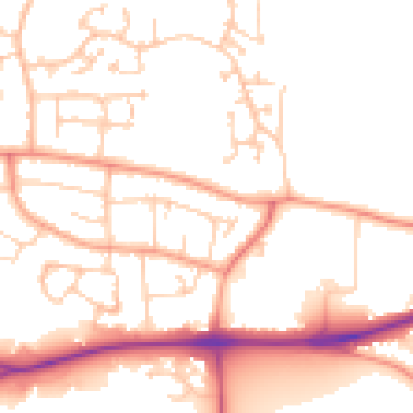
Daytime· 07:00 – 23:00
51.7dB

Night-time· 23:00 – 07:00
42.0dB