Elmspeen, Bath Road, Speen, Newbury, RG14 1QT
About Elmspeen
Elmspeen is a detached house in Speen, Newbury, Newbury (RG14 1QT). It has a recorded floor area of 86 m² (around 926 sq ft) and construction records dating it to before 1900. The latest certificate (August 2022) shows an E (score 48), well below the UK norm with real room to improve. Earlier certificates rated it D (October 2010); the latest reading is one band lower. Between certificates, window efficiency went from Poor to Good; while roof efficiency dropped from Good to Very Poor. The recommended improvements would push it to D (score 58).
At 86 m² it's 17.3% smaller than the typical home in the postcode (104 m² median across 7 EPCs). It lags the bulk of the postcode on energy efficiency (less efficient than 71% of similar EPCs).
Know exactly what you're buying at Elmspeen
Before you offer, see what the listing won't tell you, the true value, the red flags and the full history.
Already flagged here
Valuation
against the asking price
Risks
planning & flood
Sold prices
similar homes nearby
Trends
the local market
Energy performance
Elmspeen's carbon output runs well above what efficient homes in the postcode produce.
EPC Rating
Property Improvements
Changes detected from historical EPC data
Window efficiency improved
Planning history
Elmspeen has no planning applications on record.
Notable planning nearby
8applications of note in the surrounding area
We flagged 2 things worth checking at Elmspeen
Independent checks surfaced things a buyer would want to understand before offering. The report explains each one in full, with the underlying data and what to ask.
- Signs of HMO activity in the area
- Larger development activity nearby
30-day money-back guarantee
Sales history & valuation
Elmspeen has no Land Registry sales on file, suggesting it has stayed in the same hands since registration began.
£314,000
Modelled from EPC, postcode comparables.
No sales recorded with HM Land Registry
That can mean the property has never traded since the registry began publishing in 1995, was a new build that hasn't been registered yet, or is held in the same hands long-term.
Median price across the last 5 sales in RG14 1QT: £740,000 (2025–2014).
Nearby sales in RG14 1QT
Briar Hedge, Bath Road, Speen, Newbury, RG14 1QT
Sold Sept 2025
£1,212,000Cheadle Cottage, Bath Road, Speen, Newbury, RG14 1QT
Sold Mar 2025
£760,000Homend, Bath Road, Speen, Newbury, RG14 1QT
Sold Aug 2021
£290,000Linden, Bath Road, Speen, Newbury, RG14 1QT
Sold Apr 2014
£160,000Owermoigne Cottage, Bath Road, Speen, Newbury, RG14 1QT
Sold Feb 2008
£340,000
Everything we know about Elmspeen, in one report
What it's really worth, what could be wrong, and the planning, sales and area data in full.
What we flagged
- Signs of HMO activity in the area
- Larger development activity nearby

Versus other Bath Road homes
EPC Rating for Elmspeen lags the street by a wide margin.
EPC Rating
48 (E)
Street avg 58 (D)
Floor Area
86 m²
Street avg 81 m²
CO₂ Emissions
6.0 t/year
Street avg 4.4 t/year
Habitable Rooms
4 rooms
Street avg 5 rooms
Similar properties nearby
1 Charlton Place
RG14 1EX
1 Coachmans Court
RG14 1HB
1 Bolton Place
RG14 1AJ
1 3, Flat A, The Broadway
RG14 1AS
1 Corporation Cottages, Pelican Lane, Speenhamland
RG14 1NT
1 Clarendon Gardens
RG14 1JW
1 Amberley Close
RG14 1PZ
1 Chestnut Crescent
RG14 1LG
The neighbourhood at a glance
Crime
12/mo
Falling year-on-year across the wider district.
Nearest stop
0.1 km
Battle Close — bus stop.
Closest school
0.3 km
Robert Sandilands Primary School and Nursery. 14 schools nearby.
Go deeper on the local area
The full report breaks down crime, transport links, schools and air quality in depth.
Road noise across the postcode
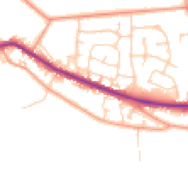
Daytime· 07:00 – 23:00
50.6dB

Night-time· 23:00 – 07:00
42.4dB