7 Clarence Court, Clarence Road, Southport, PR8 4BS
About 7 Clarence Court
7 Clarence Court is a two-bedroom semi-detached house in Southport (PR8 4BS). It has a recorded floor area of 49 m² (around 527 sq ft), construction records dating it to 1996-2002 and council tax band B. At 49 m² this is the smallest unit on EPC record across the building (49–54 m²). The building's EPC ratings span D to C, with this unit at the top. The latest certificate (March 2013) shows a C (score 70). The latest certificate is from March 2013, so improvements made since then won't be reflected.
Across 2013–2021, sale prices on this property compounded at 4.3% per year. Today's modelled estimate of £147,000 is 13.1% above the 2021 sale price. On a £-per-square-foot basis, the last sale (£246/sq ft) was about 22.2% above the typical sold price in the postcode. Last sale on file: £130,000 in July 2021. That sale was during the post-pandemic price surge, when transactions cleared materially above pre-2020 trend.
What this property has
Inside
- Bedrooms2
- Bathrooms1
Outside
- Private gardenYes
- GarageYes
Everything you need to know about 7 Clarence Court
The true value, the hidden risks and the full sale history, in one report.
Pick your report · every report is £14.99
One time fee only - money back guarantee

The data behind every report


Energy performance
7 Clarence Court's EPC is over a decade old — improvements since won't be reflected.
EPC Expired
This certificate is over 10 years old and is no longer valid.Expired 31 Mar 2023
EPC Rating
Get a survey for this property
Level 2 HomeBuyer Report
We've checked 10 risk factors against the available data for this property and believe a Level 2 HomeBuyer Report could be a suitable option for you.
From £495 · Includes VAT
Planning history
7 Clarence Court has no planning applications on record.
But the area is active
2 notable applications nearby — larger schemes and conversions that could reshape the street. The report maps them all.
Sales history & valuation
The latest sale landed in the post-pandemic price surge — useful context when reading the figure.
£147,000
Modelled from EPC, postcode comparables and a sale-price growth of 4.3% per year over 8 years.
£130,000
Growth on file: 4.3% per year over 8 years.
Sales timeline
11 July 2021Most recent
£130,000
+41.3%over 8 years12 May 2013
£92,000
Median price across the last 5 sales in PR8 4BS: £135,000 (2025–2018).
Nearby sales in PR8 4BS
2 Clarence Court, Clarence Road, Southport, PR8 4BS
Sold Apr 2025
£145,0008 Clarence Court, Clarence Road, Southport, PR8 4BS
Sold Apr 2019
£110,0005 Clarence Court, Clarence Road, Southport, PR8 4BS
Sold Nov 2018
£115,0001 Clarence Court, Clarence Road, Southport, PR8 4BS
Sold Apr 2017
£110,0006 Clarence Court, Clarence Road, Southport, PR8 4BS
Sold Jul 2007
£140,000
Versus other Clarence Road homes
On floor area, 7 Clarence Court runs well behind the street norm.
Price per m²
£2,653
Street avg £2,395
Floor Area
49 m²
Street avg 52 m²
Habitable Rooms
3 rooms
Street avg 3 rooms
CO₂ Emissions
1.9 t/year
Street avg 1.9 t/year
Everything you need to know about 7 Clarence Court
The true value, the hidden risks and the full sale history, in one report.
Pick your report · every report is £14.99
One time fee only - money back guarantee
The data behind every report
Similar properties nearby
The neighbourhood at a glance
Rail-style transport is unusually close for this postcode.
Crime
4/mo
Steady year-on-year across the wider district.
Nearest stop
0.1 km
Mosley Street — bus stop.
Closest school
0.4 km
Birkdale Primary School. 15 schools nearby.
Go deeper on the local area
A Local Area report breaks down crime, transport links, schools and air quality in depth.
Road noise across the postcode
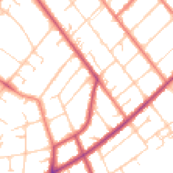
Daytime· 07:00 – 23:00
50.1dB

Night-time· 23:00 – 07:00
40.3dB