2 Green Way, Whittle Le Woods, Chorley, PR6 7YR
About 2 Green Way
2 Green Way is a detached house in Whittle-Le-Woods, Chorley, Chorley (PR6 7YR). It has a recorded floor area of 120 m² (around 1292 sq ft) and construction records dating it to 2023. The latest certificate (December 2023) returns a high B (score 86), putting the home a stone's throw from an A rating.
At 120 m² the property is well over the postcode median (72 m² across 19 EPCs), placing it in the larger end of the local stock. Sold March 2024 for £379,838.
Everything you need to know about 2 Green Way
The true value, the hidden risks and the full sale history, in one report.
Pick your report · every report is £14.99
One time fee only - money back guarantee

The data behind every report


Energy performance
EPC Rating
Get a survey for this property
Level 2 HomeBuyer Report
We've checked 10 risk factors against the available data for this property and believe a Level 2 HomeBuyer Report could be a suitable option for you.
From £595 · Includes VAT
Planning history
2 Green Way has no planning applications on record.
A planning report still maps activity across the surrounding area and reads this property's extension & conversion potential.
Sales history & valuation
£375,000
Modelled from EPC, postcode comparables.
£379,838
Recorded with HM Land Registry.
Sales timeline
28 March 2024Most recent
£379,838
Median price across the last 5 sales in PR6 7YR: £419,995 (2024–2023).
Nearby sales in PR6 7YR
1 Green Way, Whittle Le Woods, Chorley, PR6 7YR
Sold Mar 2024
£422,6383 Green Way, Whittle Le Woods, Chorley, PR6 7YR
Sold Dec 2023
£419,99520 Green Way, Whittle Le Woods, Chorley, PR6 7YR
Sold Oct 2023
£450,00019 Green Way, Whittle Le Woods, Chorley, PR6 7YR
Sold Jun 2023
£419,99512 Green Way, Whittle Le Woods, Chorley, PR6 7YR
Sold Jun 2023
£296,144
Versus other Green Way homes
Price per m² for 2 Green Way lags the street by a wide margin.
Price per m²
£3,165
Street avg £3,672
Floor Area
120 m²
Street avg 82 m²
CO₂ Emissions
1.7 t/year
Street avg 1.0 t/year
Years Held
2 years
Street avg 3 years
Everything you need to know about 2 Green Way
The true value, the hidden risks and the full sale history, in one report.
Pick your report · every report is £14.99
One time fee only - money back guarantee
The data behind every report
Similar properties nearby
1 Birch Field, Clayton Le Woods
PR6 7RE
1 Cam Wood Fold, Clayton Le Woods
PR6 7SD
1 Catley Close, Whittle Le Woods
PR6 7GZ
1 Buckton Close, Whittle Le Woods
PR6 7GY
1 Back Lane, Clayton Le Woods
PR6 7QE
1 Berry Avenue, Whittle Le Woods
PR6 7FX
1 Brookfield Lane, Clayton Le Woods
PR6 7FG
1 Bingley Close, Clayton Le Woods
PR6 7ST
The neighbourhood at a glance
Crime
2/mo
Steady year-on-year across the wider district.
Nearest stop
0.6 km
Hardacre Lane — bus stop.
Closest school
1.0 km
Whittle-le-Woods Church of England Primary School. 12 schools nearby.
Go deeper on the local area
A Local Area report breaks down crime, transport links, schools and air quality in depth.
Road noise across the postcode
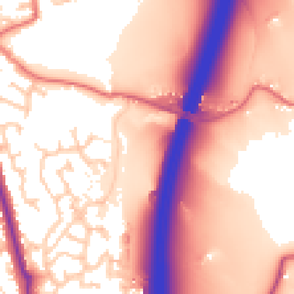
Daytime· 07:00 – 23:00
58.7dB
Night-time· 23:00 – 07:00
49.7dB