53 Church Hill, Whittle Le Woods, Chorley, PR6 7LG
About 53 Church Hill
53 Church Hill is a two-bedroom end-of-terrace house in Whittle-Le-Woods, Chorley, Chorley (PR6 7LG). It has a recorded floor area of 72 m² (around 775 sq ft), construction records dating it to 1967-1975 and council tax band A. The latest certificate (September 2016) shows a D (score 68), on the cusp of jumping into the C band. The recommended improvements would lift it to B (score 85), a 2-band jump. The home occupies a cul-de-sac position.
At 72 m² the property is well over the postcode median (37 m² across 27 EPCs), placing it in the larger end of the local stock. Across 2007–2023, sale prices on this property compounded at 1.1% per year. On a £-per-square-foot basis, the last sale (£168/sq ft) was about 32.4% above the typical sold price in the postcode. Last sale on file: £130,000 in September 2023.
What this property has
Inside
- Bedrooms2
- Bathrooms1
Outside
- GarageYes
- Cul-de-sacYes
Everything you need to know about 53 Church Hill
The true value, the hidden risks and the full sale history, in one report.
Pick your report · every report is £14.99
One time fee only - money back guarantee

The data behind every report


Energy performance
Recommended upgrades on file would lift this property by multiple EPC bands.
EPC Rating
Get a survey for this property
Level 2 HomeBuyer Report
We've checked 10 risk factors against the available data for this property and believe a Level 2 HomeBuyer Report could be a suitable option for you.
From £495 · Includes VAT
Planning history
53 Church Hill has no planning applications on record.
A planning report still maps activity across the surrounding area and reads this property's extension & conversion potential.
Sales history & valuation
53 Church Hill's sale-price growth has lagged the wider UK trajectory across its history on file.
£139,000
Modelled from EPC, postcode comparables and a sale-price growth of 1.1% per year over 16 years.
£130,000
Growth on file: 1.1% per year over 16 years.
Sales timeline
14 September 2023Most recent
£130,000
+18.2%over 6 years29 May 2017
£110,000
16 November 2007
£110,000
Median price across the last 5 sales in PR6 7LG: £105,000 (2021–2011).
Nearby sales in PR6 7LG
75 Church Hill, Whittle Le Woods, Chorley, PR6 7LG
Sold Feb 2021
£150,00081 Church Hill, Whittle Le Woods, Chorley, PR6 7LG
Sold Jul 2013
£105,0005 Church Hill, Whittle Le Woods, Chorley, PR6 7LG
Sold Jun 2011
£105,00055 Church Hill, Whittle Le Woods, Chorley, PR6 7LG
Sold Jul 2006
£110,00045 Church Hill, Whittle Le Woods, Chorley, PR6 7LG
Sold Feb 2004
£85,500
Versus other Church Hill homes
Price per m² for 53 Church Hill runs comfortably ahead of the street norm.
Price per m²
£1,806
Street avg £1,497
Floor Area
72 m²
Street avg 52 m²
Habitable Rooms
3 rooms
Street avg 3 rooms
CO₂ Emissions
3.0 t/year
Street avg 2.3 t/year
Everything you need to know about 53 Church Hill
The true value, the hidden risks and the full sale history, in one report.
Pick your report · every report is £14.99
One time fee only - money back guarantee
The data behind every report
Similar properties nearby
1 Brownley Street, Clayton Le Woods
PR6 7JF
1 Bone Croft, Clayton Le Woods
PR6 7UR
1 Cedar Field, Clayton Le Woods
PR6 7RW
1 Back Lane, Clayton Le Woods
PR6 7QE
1 Berry Avenue, Whittle Le Woods
PR6 7FX
1 Burghley Close, Clayton Le Woods
PR6 7SU
1 Blackthorn Croft, Clayton Le Woods
PR6 7TZ
1 Beaconsfield Terrace
PR6 7AD
The neighbourhood at a glance
Crime
2/mo
Steady year-on-year across the wider district.
Nearest stop
0.1 km
Church Hill — bus stop.
Closest school
0.2 km
Whittle-le-Woods Church of England Primary School. 12 schools nearby.
Go deeper on the local area
A Local Area report breaks down crime, transport links, schools and air quality in depth.
Road noise across the postcode
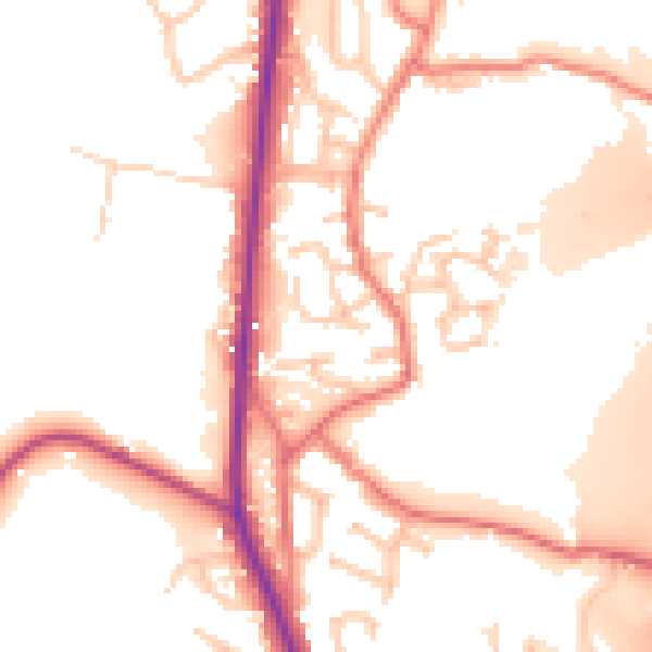
Daytime· 07:00 – 23:00
52.9dB
Night-time· 23:00 – 07:00
44.0dB