7 Blossom Grove, Whittle Le Woods, Chorley, PR6 7HB
About 7 Blossom Grove
7 Blossom Grove is a four-bedroom detached house in Whittle-Le-Woods, Chorley, Chorley (PR6 7HB). It has a recorded floor area of 144 m² (around 1550 sq ft), construction records dating it to 2007 onwards and council tax band E. Tenure is freehold. The property has solar panels on record, all of which lower running costs and tend to lift resale appeal. The latest certificate (April 2020) shows a C (score 78), near the top of the C band. The recommended improvements would push it to B (score 87).
At 144 m² it's 25.2% larger than the typical home in the postcode (115 m² median across 7 EPCs). Last sold in March 2013, so it's been off the market for around 13 years. Across 2009–2013, sale prices on this property compounded at -5.8% per year. Today's modelled estimate of £386,000 is 35.4% above the 2013 sale price.
What this property has
Inside
- Bedrooms4
- Bathrooms2
- Open-plan layoutYes
- Dining roomYes
- EnsuiteYes
Outside
- GarageDetached
Building
- TenureFreehold
- Solar panelsYes
Everything you need to know about 7 Blossom Grove
The true value, the hidden risks and the full sale history, in one report.
Pick your report · every report is £14.99
One time fee only - money back guarantee

The data behind every report


Energy performance
EPC Rating
Get a survey for this property
Level 2 HomeBuyer Report
We've checked 10 risk factors against the available data for this property and believe a Level 2 HomeBuyer Report could be a suitable option for you.
From £595 · Includes VAT
Planning history
7 Blossom Grove has no planning applications on record.
A planning report still maps activity across the surrounding area and reads this property's extension & conversion potential.
Sales history & valuation
£386,000
Modelled from EPC, postcode comparables and a sale-price growth of -5.8% per year over 4 years.
£285,000
Growth on file: -5.8% per year over 4 years.
Sales timeline
8 March 2013Most recent
£285,000
-18.9%over 3 years23 August 2009
£351,575
Median price across the last 5 sales in PR6 7HB: £320,000 (2024–2019).
Nearby sales in PR6 7HB
6 Blossom Grove, Whittle Le Woods, Chorley, PR6 7HB
Sold Mar 2024
£350,0001 Blossom Grove, Whittle Le Woods, Chorley, PR6 7HB
Sold Jan 2022
£426,6503 Blossom Grove, Whittle Le Woods, Chorley, PR6 7HB
Sold Oct 2019
£285,0008 Blossom Grove, Whittle Le Woods, Chorley, PR6 7HB
Sold Jul 2019
£320,0004 Blossom Grove, Whittle Le Woods, Chorley, PR6 7HB
Sold Mar 2013
£215,000
Versus other Blossom Grove homes
Floor Area for 7 Blossom Grove runs comfortably ahead of the street norm.
Price per m²
£1,979
Street avg £2,627
Floor Area
144 m²
Street avg 136 m²
Habitable Rooms
7 rooms
Street avg 7 rooms
CO₂ Emissions
3.3 t/year
Street avg 3.2 t/year
Everything you need to know about 7 Blossom Grove
The true value, the hidden risks and the full sale history, in one report.
Pick your report · every report is £14.99
One time fee only - money back guarantee
The data behind every report
Similar properties nearby
1 Birch Field, Clayton Le Woods
PR6 7RE
1 Brookfield Lane, Clayton Le Woods
PR6 7FG
1 Blossom Grove, Whittle Le Woods
PR6 7HB
1 Bingley Close, Clayton Le Woods
PR6 7ST
1 Blackthorn Croft, Clayton Le Woods
PR6 7TZ
1 Back Lane, Clayton Le Woods
PR6 7QE
1 Berry Avenue, Whittle Le Woods
PR6 7FX
1 Cedar Field, Clayton Le Woods
PR6 7RW
The neighbourhood at a glance
Crime
2/mo
Steady year-on-year across the wider district.
Nearest stop
0.1 km
Hardacre Lane — bus stop.
Closest school
1.1 km
Whittle-le-Woods Church of England Primary School. 14 schools nearby.
Go deeper on the local area
A Local Area report breaks down crime, transport links, schools and air quality in depth.
Road noise across the postcode
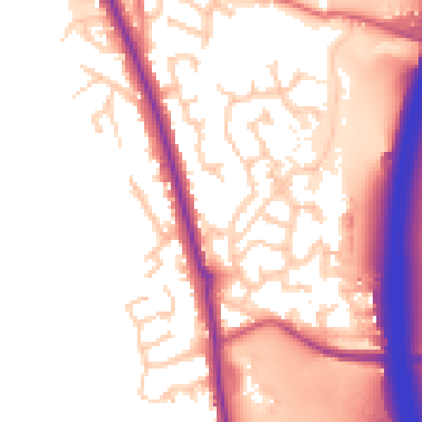
Daytime· 07:00 – 23:00
54.2dB

Night-time· 23:00 – 07:00
45.6dB