9 Berry Lane, Longridge, Preston, PR3 3JA
About 9 Berry Lane
9 Berry Lane is a property in Longridge, Preston, Preston (PR3 3JA).
3 planning records sit against the property, 2 approved, 1 refused. Across 2006–2023, sale prices on this property compounded at 1.3% per year. Last sale on file: £230,000 in March 2023.
Everything you need to know about 9 Berry Lane
The true value, the hidden risks and the full sale history, in one report.
Pick your report · every report is £14.99
One time fee only - money back guarantee

The data behind every report


Energy performance
No EPC on record
This property doesn't have an Energy Performance Certificate yet. An EPC is required to sell or let — and unlocks our automated valuation.
Get a survey for this property
Level 2 HomeBuyer Report
We've checked 10 risk factors against the available data for this property and believe a Level 2 HomeBuyer Report could be a suitable option for you.
Planning history
3 applications on record at 9 Berry Lane, Longridge, Preston, PR3 3JA
- Jun 2007Change of UseFullOutcome in report
Proposed change of use of first floor stores to affordable 1no bedroom flat including external escape stair.
- Reference
- 17501
- More recent applications — locked
- FullApr 2023Decision
- Change Of UseAug 2007Decision
Unlock 9 Berry Lane, Longridge, Preston, PR3 3JA's full planning history
You're seeing the shape of it. The report has the substance.
- Every decision — granted, refused or withdrawn (3 on record)
- All 3 applications on this property in full, plus 2 notable nearby
- The 10 documents, officer reports & conditions
- What the pattern means for extending or converting here
One time fee only - money back guarantee
Sales history & valuation
Latest sale on 9 Berry Lane was the highest on Land Registry record across the postcode.
£230,000
Growth on file: 1.3% per year over 16 years.
Sales timeline
3 March 2023Most recent
£230,000
+24.3%over 16 years1 November 2006
£185,000
Median price across the last 5 sales in PR3 3JA: £100,000 (2022–2002).
Nearby sales in PR3 3JA
1a, Berry Lane, Longridge, Preston, PR3 3JA
Sold Apr 2022
£120,00014 Berry Lane, Longridge, Preston, PR3 3JA
Sold Nov 2021
£175,00010 Berry Lane, Longridge, Preston, PR3 3JA
Sold Oct 2002
£89,00022a, Berry Lane, Longridge, Preston, PR3 3JA
Sold Oct 2002
£100,00017 Berry Lane, Longridge, Preston, PR3 3JA
Sold Sept 2001
£60,000
Everything you need to know about 9 Berry Lane
The true value, the hidden risks and the full sale history, in one report.
Pick your report · every report is £14.99
One time fee only - money back guarantee
The data behind every report
Similar properties nearby
1 Bowland Close, Longridge
PR3 3TU
1 Caton Close, Longridge
PR3 3RH
1 Belmont Court, Longridge
PR3 3TG
1 Ashton Street, Longridge
PR3 3NQ
1 Auction Court, Towneley Road, Longridge
PR3 3EA
1 Betula Drive, Longridge
PR3 3DF
1 Alexandra Road, Longridge
PR3 3EJ
1 Blackburn Road, Ribchester
PR3 3YP
The neighbourhood at a glance
Crime
3/mo
Steady year-on-year across the wider district.
Nearest stop
0.0 km
CP School — bus stop.
Closest school
0.0 km
Longridge Church of England Primary School. 6 schools nearby.
Go deeper on the local area
A Local Area report breaks down crime, transport links, schools and air quality in depth.
Road noise across the postcode
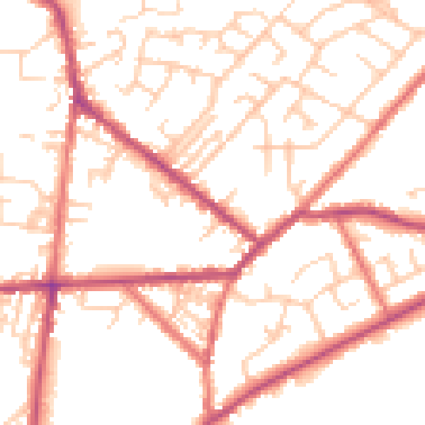
Daytime· 07:00 – 23:00
51.5dB

Night-time· 23:00 – 07:00
41.1dB