13 Alexandra Road, Longridge, Preston, PR3 3EJ
About 13 Alexandra Road
13 Alexandra Road is a three-bedroom mid-terrace house in Longridge, Preston, Preston (PR3 3EJ). It has a recorded floor area of 112 m² (around 1206 sq ft), construction records dating it to 1900-1929 and council tax band B. The latest certificate (June 2025) shows a D (score 62), on the cusp of jumping into the C band. When first surveyed in September 2016 the rating was F, the property has climbed 2 bands since. Between certificates, hot-water efficiency went from Average to Good and lighting went from Very Poor to Very Good. The recommended improvements would push it to C (score 79).
Across 1996–2023, sale prices on this property compounded at 5.6% per year. Today's modelled estimate of £188,000 is 10.3% above the 2023 sale price. On a £-per-square-foot basis, the last sale (£141/sq ft) was about 23.2% above the typical sold price in the postcode. Last sale on file: £170,500 in August 2023.
What this property has
Inside
- Bedrooms3
- Bathrooms1
Everything you need to know about 13 Alexandra Road
The true value, the hidden risks and the full sale history, in one report.
Pick your report · every report is £14.99
One time fee only - money back guarantee

The data behind every report


Energy performance
EPC Rating
Property Improvements
Changes detected from historical EPC data
More low energy lighting installed
Heating controls upgraded for better temperature management
Hot water system upgraded
Get a survey for this property
Level 3 Building Survey
Because the property was built before 1919, we believe a Level 3 building survey should be considered.
From £820 · Includes VAT
Planning history
13 Alexandra Road has no planning applications on record.
But the area is active
2 notable applications nearby — larger schemes and conversions that could reshape the street. The report maps them all.
Sales history & valuation
Price for 13 Alexandra Road has grown more than fourfold since the 1996 starting point.
£188,000
Modelled from EPC, postcode comparables and a sale-price growth of 5.6% per year over 27 years.
£170,500
Growth on file: 5.6% per year over 27 years.
Sales timeline
13 August 2023Most recent
£170,500
+36.4%over 6 years29 June 2017
£125,000
+194.1%over 11 years1 November 2005
£42,500
+14.9%over 6 years20 November 1998
£37,000
-6.9%over 2 years10 September 1996
£39,750
Median price across the last 5 sales in PR3 3EJ: £155,000 (2023–2013).
Nearby sales in PR3 3EJ
11 Alexandra Road, Longridge, Preston, PR3 3EJ
Sold Dec 2023
£180,0005 Alexandra Road, Longridge, Preston, PR3 3EJ
Sold May 2022
£149,0001 Alexandra Road, Longridge, Preston, PR3 3EJ
Sold Mar 2021
£160,0007 Alexandra Road, Longridge, Preston, PR3 3EJ
Sold Feb 2016
£155,0006 Alexandra Road, Longridge, Preston, PR3 3EJ
Sold Jul 2009
£128,000
Versus other Alexandra Road homes
Habitable Rooms for 13 Alexandra Road runs comfortably ahead of the street norm.
Price per m²
£1,522
Street avg £1,499
Floor Area
112 m²
Street avg 105 m²
Habitable Rooms
5 rooms
Street avg 4 rooms
CO₂ Emissions
5.3 t/year
Street avg 6.0 t/year
Everything you need to know about 13 Alexandra Road
The true value, the hidden risks and the full sale history, in one report.
Pick your report · every report is £14.99
One time fee only - money back guarantee
The data behind every report
Similar properties nearby
1 Alexandra Road, Longridge
PR3 3EJ
1 Caton Close, Longridge
PR3 3RH
1 Belmont Court, Longridge
PR3 3TG
1 Chapel Rise, Longridge
PR3 3UP
1 Ashton Street, Longridge
PR3 3NQ
1 Chapel Hill Farm Cottage, Lower Lane, Longridge
PR3 3SL
1 Blackburn Road, Ribchester
PR3 3YP
1 Asturian Gate, Ribchester
PR3 3XQ
The neighbourhood at a glance
Crime
3/mo
Steady year-on-year across the wider district.
Nearest stop
0.1 km
St Wilfrids Church — bus stop.
Closest school
0.2 km
Longridge St Wilfrid's Roman Catholic Primary School. 6 schools nearby.
Go deeper on the local area
A Local Area report breaks down crime, transport links, schools and air quality in depth.
Road noise across the postcode
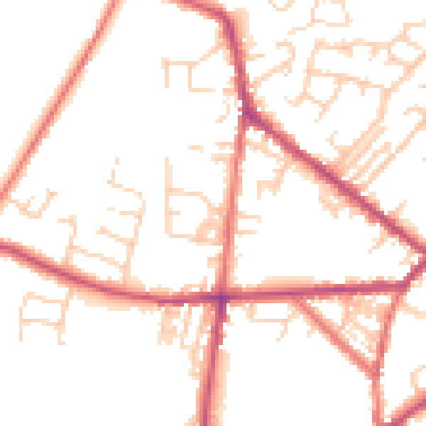
Daytime· 07:00 – 23:00
50.2dB

Night-time· 23:00 – 07:00
40.4dB