Alston Fold Farm, Preston Road, Alston, Preston, PR3 3BL
About Alston Fold Farm
Alston Fold Farm is a property in Alston, Preston, Preston (PR3 3BL). It has council tax band E.
It hasn't traded since June 2004, a hold of 22 years that's notably long for the area.
Everything you need to know about Alston Fold Farm
The true value, the hidden risks and the full sale history, in one report.
Pick your report · every report is £14.99
One time fee only - money back guarantee

The data behind every report


Energy performance
No EPC on record
This property doesn't have an Energy Performance Certificate yet. An EPC is required to sell or let — and unlocks our automated valuation.
Get a survey for this property
Level 2 HomeBuyer Report
We've checked 10 risk factors against the available data for this property and believe a Level 2 HomeBuyer Report could be a suitable option for you.
Planning history
Alston Fold Farm has no planning applications on record.
But the area is active
2 notable applications nearby — larger schemes and conversions that could reshape the street. The report maps them all.
Sales history & valuation
£412,000
Recorded with HM Land Registry.
Sales timeline
3 June 2004Most recent
£412,000
Median price across the last 5 sales in PR3 3BL: £394,000 (2022–2013).
Nearby sales in PR3 3BL
New Chapel House, Preston Road, Alston, Preston, PR3 3BL
Sold Jul 2022
£650,000Old Chapel Barn, Preston Road, Alston, Preston, PR3 3BL
Sold Jun 2022
£350,000Dansons Farm, Preston Road, Alston, Preston, PR3 3BL
Sold Jun 2021
£660,000Old Chapel House, Preston Road, Alston, Preston, PR3 3BL
Sold Sept 2015
£394,000Roadside Farm Cottage, Preston Road, Alston, Preston, PR3 3BL
Sold Sept 2013
£360,000
Everything you need to know about Alston Fold Farm
The true value, the hidden risks and the full sale history, in one report.
Pick your report · every report is £14.99
One time fee only - money back guarantee
The data behind every report
Similar properties nearby
1 Alston Meadows, Longridge
PR3 3DA
1 Apsley Fold, Longridge
PR3 3TY
1 Broomfield Road, Longridge
PR3 3UL
1 Chapel Hill Farm Cottage, Lower Lane, Longridge
PR3 3SL
1 Asturian Gate, Ribchester
PR3 3XQ
1 Brindle Close, Longridge
PR3 3SJ
1 Chapel Rise, Longridge
PR3 3UP
1 Blackburn Road, Ribchester
PR3 3YP
The neighbourhood at a glance
Daytime road noise here sits well below conversation level — a quiet pocket of the postcode.
Crime
3/mo
Steady year-on-year across the wider district.
Nearest stop
0.2 km
White Bull — bus stop.
Closest school
0.6 km
Alston Lane Catholic Primary School, Longridge. 7 schools nearby.
Go deeper on the local area
A Local Area report breaks down crime, transport links, schools and air quality in depth.
Road noise across the postcode
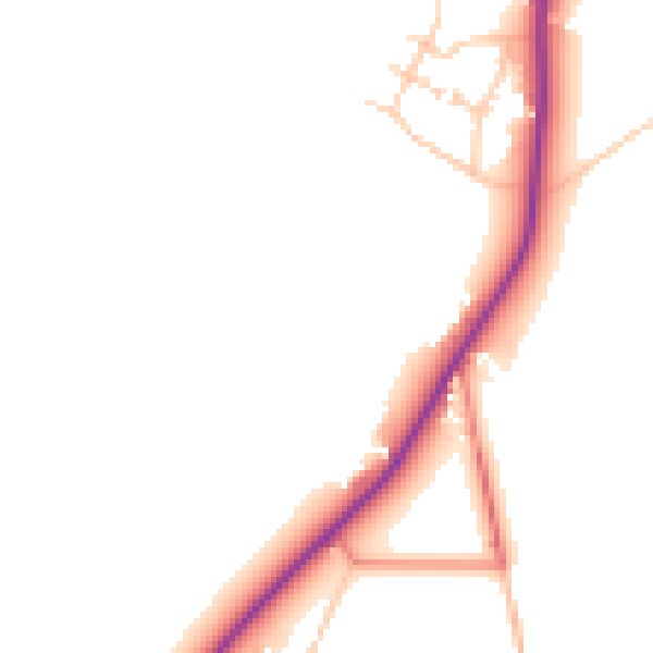
Daytime· 07:00 – 23:00
46.6dB

Night-time· 23:00 – 07:00
40.1dB