5 Duckworth Drive, Catterall, Preston, PR3 1YS
About 5 Duckworth Drive
5 Duckworth Drive is a three-bedroom detached house in Catterall, Preston, Preston (PR3 1YS). It has a recorded floor area of 74 m² (around 797 sq ft), construction records dating it to 1983-1990 and council tax band D. The latest certificate (June 2016) shows a D (score 67), on the cusp of jumping into the C band. The recommended improvements would lift it to B (score 85), a 2-band jump. The latest certificate is from June 2016, so improvements made since then won't be reflected.
Across 2016–2017, sale prices on this property compounded at 23.2% per year. Today's modelled estimate of £267,000 is 31.4% above the 2017 sale price. On a £-per-square-foot basis, the last sale (£255/sq ft) was about 32.7% above the typical sold price in the postcode. Last changed hands 9 years ago, in June 2017.
What this property has
Inside
- Bedrooms3
- Bathrooms1
- Dining roomYes
- CloakroomYes
- EnsuiteYes
Outside
- Private gardenYes
- GarageDetached
Building
- RefurbishedYes
Everything you need to know about 5 Duckworth Drive
The true value, the hidden risks and the full sale history, in one report.
Pick your report · every report is £14.99
One time fee only - money back guarantee

The data behind every report


Energy performance
Recommended upgrades on file would lift this property by multiple EPC bands.
EPC Expired
This certificate is over 10 years old and is no longer valid.Expired 08 Jun 2026
EPC Rating
Get a survey for this property
Level 2 HomeBuyer Report
We've checked 10 risk factors against the available data for this property and believe a Level 2 HomeBuyer Report could be a suitable option for you.
From £545 · Includes VAT
Planning history
5 Duckworth Drive has no planning applications on record.
But the area is active
10 notable applications nearby — larger schemes and conversions that could reshape the street. The report maps them all.
Sales history & valuation
5 Duckworth Drive changed hands twice within eighteen months — unusual for the area.
£267,000
Modelled from EPC, postcode comparables and a sale-price growth of 23.2% per year over 1 year.
£203,250
Growth on file: 23.2% per year over 1 year.
Sales timeline
12 June 2017Most recent
£203,250
+23.2%over 12 months12 June 2016
£165,000
Median price across the last 5 sales in PR3 1YS: £265,000 (2025–2021).
Nearby sales in PR3 1YS
2 Duckworth Drive, Catterall, Preston, PR3 1YS
Sold Nov 2025
£265,00015 Duckworth Drive, Catterall, Preston, PR3 1YS
Sold Jul 2024
£260,00016 Duckworth Drive, Catterall, Preston, PR3 1YS
Sold Oct 2023
£290,0006 Duckworth Drive, Catterall, Preston, PR3 1YS
Sold Feb 2022
£235,0001 Duckworth Drive, Catterall, Preston, PR3 1YS
Sold Nov 2021
£270,000
Versus other Duckworth Drive homes
On floor area, 5 Duckworth Drive runs well behind the street norm.
Price per m²
£2,747
Street avg £2,529
Floor Area
74 m²
Street avg 89 m²
Habitable Rooms
4 rooms
Street avg 5 rooms
CO₂ Emissions
2.9 t/year
Street avg 3.7 t/year
Everything you need to know about 5 Duckworth Drive
The true value, the hidden risks and the full sale history, in one report.
Pick your report · every report is £14.99
One time fee only - money back guarantee
The data behind every report
Similar properties nearby
1 Bridge Villas, Bridge Street, Garstang
PR3 1YB
1 Barnacre View, High Street, Garstang
PR3 1EB
1 Alpine Heights, Garstang
PR3 1PF
1 Birch Road, Garstang
PR3 1WJ
1 Bluebell Way, Garstang
PR3 1FZ
1 Brooklands Drive, Garstang
PR3 1QP
1 Broad Oak Avenue, Garstang
PR3 1QQ
1 Beech Mount, High Street, Garstang
PR3 1EB
The neighbourhood at a glance
Crime
3/mo
Steady year-on-year across the wider district.
Nearest stop
0.2 km
Catterall Gates Lane — bus stop.
Closest school
0.9 km
Garstang Community Academy. 6 schools nearby.
Go deeper on the local area
A Local Area report breaks down crime, transport links, schools and air quality in depth.
Road noise across the postcode
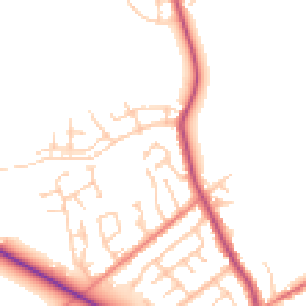
Daytime· 07:00 – 23:00
50.5dB

Night-time· 23:00 – 07:00
42.5dB