49 Hamers Wood Drive, Catterall, Preston, PR3 1YN
About 49 Hamers Wood Drive
49 Hamers Wood Drive is a three-bedroom detached house in Catterall, Preston, Preston (PR3 1YN). It has a recorded floor area of 81 m² (around 872 sq ft), construction records dating it to 1950-1966 and council tax band D. The latest certificate (April 2025) shows a D (score 66), on the cusp of jumping into the C band. The recommended improvements would lift it to B (score 82), a 2-band jump.
It changed hands recently, sold June 2025 for £215,000. Across 2005–2025, sale prices on this property compounded at 0.5% per year. Today's modelled estimate of £285,000 is 32.6% above the 2025 sale price. On a £-per-square-foot basis, the last sale (£247/sq ft) was about 33.1% above the typical sold price in the postcode. At 81 m² it's 20.2% smaller than the typical home in the postcode (102 m² median across 16 EPCs).
What this property has
Inside
- Bedrooms3
- Bathrooms1
Everything you need to know about 49 Hamers Wood Drive
The true value, the hidden risks and the full sale history, in one report.
Pick your report · every report is £14.99
One time fee only - money back guarantee

The data behind every report


Energy performance
Recommended upgrades on file would lift this property by multiple EPC bands.
EPC Rating
Get a survey for this property
Level 2 HomeBuyer Report
We've checked 10 risk factors against the available data for this property and believe a Level 2 HomeBuyer Report could be a suitable option for you.
From £545 · Includes VAT
Planning history
49 Hamers Wood Drive has no planning applications on record.
But the area is active
10 notable applications nearby — larger schemes and conversions that could reshape the street. The report maps them all.
Sales history & valuation
49 Hamers Wood Drive's sale-price growth has lagged the wider UK trajectory across its history on file.
£285,000
Modelled from EPC, postcode comparables and a sale-price growth of 0.5% per year over 20 years.
£215,000
Growth on file: 0.5% per year over 20 years.
Sales timeline
11 June 2025Most recent
£215,000
+11.4%over 20 years7 February 2005
£193,000
Median price across the last 5 sales in PR3 1YN: £227,671 (2024–2021).
Nearby sales in PR3 1YN
31 Hamers Wood Drive, Catterall, Preston, PR3 1YN
Sold May 2024
£340,00037 Hamers Wood Drive, Catterall, Preston, PR3 1YN
Sold May 2023
£260,0009 Hamers Wood Drive, Catterall, Preston, PR3 1YN
Sold Mar 2023
£202,50053 Hamers Wood Drive, Catterall, Preston, PR3 1YN
Sold Oct 2022
£222,50045 Hamers Wood Drive, Catterall, Preston, PR3 1YN
Sold Sept 2021
£227,671
Versus other Hamers Wood Drive homes
On years held, 49 Hamers Wood Drive runs well behind the street norm.
Price per m²
£2,654
Street avg £2,165
Floor Area
81 m²
Street avg 112 m²
Habitable Rooms
4 rooms
Street avg 5 rooms
CO₂ Emissions
3.6 t/year
Street avg 6.3 t/year
Everything you need to know about 49 Hamers Wood Drive
The true value, the hidden risks and the full sale history, in one report.
Pick your report · every report is £14.99
One time fee only - money back guarantee
The data behind every report
Similar properties nearby
1 Bridge Villas, Bridge Street, Garstang
PR3 1YB
1 Barnacre View, High Street, Garstang
PR3 1EB
1 Birch Road, Garstang
PR3 1WJ
1 Alpine Heights, Garstang
PR3 1PF
1 Brooklands Drive, Garstang
PR3 1QP
1 Bluebell Way, Garstang
PR3 1FZ
1 Broad Oak Avenue, Garstang
PR3 1QQ
1 Beech Mount, High Street, Garstang
PR3 1EB
The neighbourhood at a glance
Crime
3/mo
Steady year-on-year across the wider district.
Nearest stop
0.1 km
Daniel Fold Lane — bus stop.
Closest school
1.2 km
Kirkland and Catterall St Helen's Church of England Voluntary Aided Primary School. 6 schools nearby.
Go deeper on the local area
A Local Area report breaks down crime, transport links, schools and air quality in depth.
Road noise across the postcode
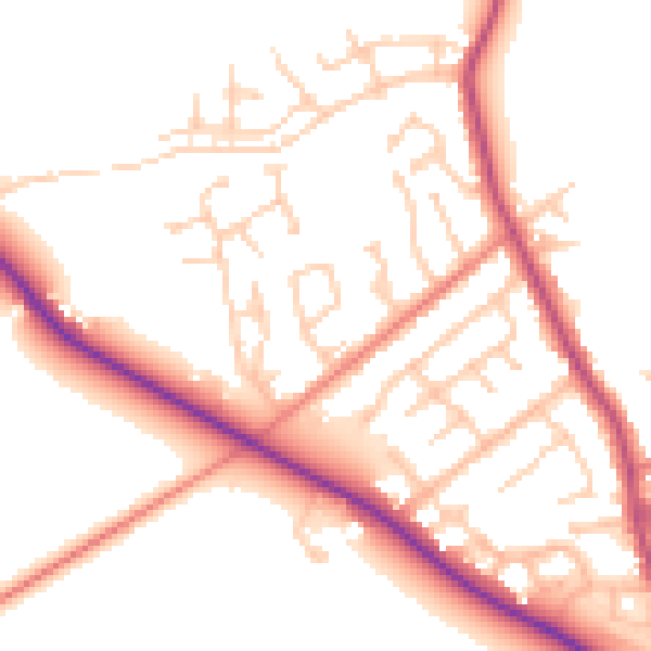
Daytime· 07:00 – 23:00
52.3dB

Night-time· 23:00 – 07:00
43.5dB