15b, Charlesway Court, Lea Road, Lea, Preston, PR2 1TL
About 15b
15b is a one-bedroom semi-detached house in Lea, Preston, Preston (PR2 1TL). It has a recorded floor area of 45 m² (around 484 sq ft), construction records dating it to 1976-1982 and council tax band A. The latest certificate (July 2016) shows a D (score 64), on the cusp of jumping into the C band. When first surveyed in February 2009 the rating was G, the property has climbed 3 bands since. Between certificates, wall efficiency went from Poor to Good, roof efficiency went from Very Poor to Poor and window efficiency went from Poor to Good. The recommended improvements would push it to C (score 70). Main heating runs on electricity. The property has underfloor heating on record, all of which lower running costs and tend to lift resale appeal. At 45 m² this is the 19th smallest of 43 units on EPC record in the building, where floor areas span 29–59 m². The building's EPC ratings span E to C across 43 units on file.
Across 2001–2013, sale prices on this property compounded at 6.7% per year. Today's modelled estimate of £104,000 sits 85.7% above the 2013 sale of £56,000. Last sold in July 2013, so it's been off the market for around 13 years. Across the public record there are 4 sales, relatively high churn for a single property.
Know exactly what you're buying at 15b
Before you offer, see what the listing won't tell you, the true value, the red flags and the full history.
Already flagged here
Valuation
against the asking price
Risks
planning & flood
Sold prices
similar homes nearby
Trends
the local market
What this property has
Inside
- Bedrooms1
- Bathrooms1
Outside
- ParkingYes
Building
- Underfloor heatingYes
Energy performance
EPC Rating
Property Improvements
Changes detected from historical EPC data
Hot water system upgraded
Windows upgraded, improving insulation
Cavity wall insulation installed
Roof insulation improved
More low energy lighting installed
Planning history
15b has no planning applications on record.
Notable planning nearby
15applications of note in the surrounding area
We flagged 2 things worth checking at 15b
Independent checks surfaced things a buyer would want to understand before offering. The report explains each one in full, with the underlying data and what to ask.
- Signs of HMO activity in the area
- Larger development activity nearby
30-day money-back guarantee
Sales history & valuation
15b has more than doubled in price since the earliest registered sale in 2001.
£104,000
Modelled from EPC, postcode comparables and a sale-price growth of 6.7% per year over 12 years.
£56,000
Growth on file: 6.7% per year over 12 years.
Sales timeline
1 July 2013Most recent
£56,000
-6.6%over 8 years31 January 2005
£59,950
+15.3%over 12 months5 February 2004
£52,000
+96.2%over 2 years20 December 2001
£26,500
Median price across the last 5 sales in PR2 1TL: £60,000 (2023–2022).
Nearby sales in PR2 1TL
3a, Charlesway Court, Lea Road, Lea, Preston, PR2 1TL
Sold Aug 2023
£39,00012b, Charlesway Court, Lea Road, Lea, Preston, PR2 1TL
Sold May 2023
£46,00013b, Charlesway Court, Lea Road, Lea, Preston, PR2 1TL
Sold Dec 2022
£70,00011b, Charlesway Court, Lea Road, Lea, Preston, PR2 1TL
Sold Dec 2022
£60,00010a, Charlesway Court, Lea Road, Lea, Preston, PR2 1TL
Sold Jun 2022
£69,950
Everything we know about 15b, in one report
What it's really worth, what could be wrong, and the planning, sales and area data in full.
What we flagged
- Signs of HMO activity in the area
- Larger development activity nearby

Versus other Charlesway Court homes
Price per m²
£1,244
Street avg £1,174
Floor Area
45 m²
Street avg 44 m²
Habitable Rooms
2 rooms
Street avg 2 rooms
CO₂ Emissions
3.2 t/year
Street avg 3.2 t/year
Similar properties nearby
1 Charlesway Court, Lea Road, Lea
PR2 1TL
1 Ashtongate, Ashton On Ribble
PR2 1NF
1 Cartmel Place, Ashton On Ribble
PR2 1TY
1 Birkdale Drive, Ashton On Ribble
PR2 1UL
1 Brampton Street, Ashton On Ribble
PR2 1DE
1 Bank Place, Ashton On Ribble
PR2 1DN
1 Ash Meadow, Lea
PR2 1RX
1 Ashford Road, Ashton On Ribble
PR2 1UB
The neighbourhood at a glance
Crime
6/mo
Steady year-on-year across the wider district.
Nearest stop
0.1 km
Police Station — bus stop.
Closest school
0.2 km
Lea Community Primary School. 19 schools nearby.
Go deeper on the local area
The full report breaks down crime, transport links, schools and air quality in depth.
Road noise across the postcode
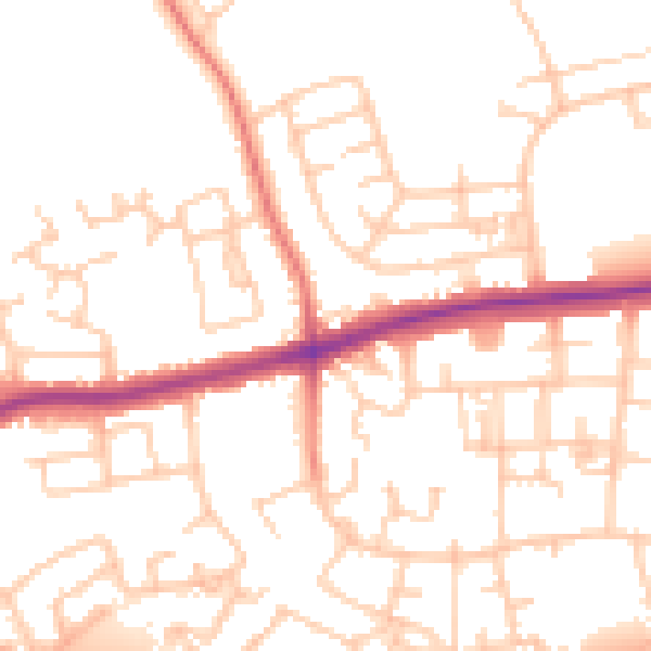
Daytime· 07:00 – 23:00
51.2dB

Night-time· 23:00 – 07:00
40.8dB