15 Montgomerie Road, Southsea, PO5 1EB
About 15 Montgomerie Road
15 Montgomerie Road is a mid-terrace house in Southsea (PO5 1EB). It has a recorded floor area of 135 m² (around 1453 sq ft), construction records dating it to 1930-1949 and council tax band B. The latest certificate (October 2021) shows a C (score 74). When first surveyed in September 2011 the rating was D, the property has climbed 1 band since. Between certificates, window efficiency went from Poor to Good and hot-water efficiency went from Average to Good; while wall efficiency dropped from Good to Average and roof efficiency dropped from Very Good to Very Poor. The recommended improvements would push it to B (score 85).
At 135 m² the property is well over the postcode median (100 m² across 26 EPCs), placing it in the larger end of the local stock. 4 planning records sit against the property, 2 approved, 1 refused. Past consents include an extension, meaningful when judging how the property has evolved. Across 1997–2020, sale prices on this property compounded at 9.2% per year. Today's modelled estimate of £297,000 is 23.8% above the 2020 sale price. On a £-per-square-foot basis, the last sale (£165/sq ft) was about 22.9% above the typical sold price in the postcode. Sold January 2020 for £240,000.
Know exactly what you're buying at 15 Montgomerie Road
Before you offer, see what the listing won't tell you, the true value, the red flags and the full history.
Already flagged here
Launch offer · save £5
Valuation
against the asking price
Risks
planning & flood
Sold prices
similar homes nearby
Trends
the local market
Energy performance
EPC Rating
Property Improvements
Changes detected from historical EPC data
Heating controls upgraded for better temperature management
Hot water system upgraded
Windows upgraded, improving insulation
Planning history
15 Montgomerie Road has 2 separate extension applications on the council record.
- Aug 2021ExtensionOutlineIn report
Extension: Single storey · Rear of property
Construction of single-storey rear extension that comes out a maximum of 5.9m beyond the rear wall of the original house with a maximum height of 3m and a maximum height of 2.8m to the eaves
- Agent
- FAO Mrs Carianne Wells
- Documents
- 6 docs on file
- Reference
- 21/00100/GPDC
- Nov 2020HMOFullIn report
Change of use from house in multiple occupation (Class C4) to 7 person/7 bedroom house in multiple occupancy (Sui Generis)
- Agent
- FAO Mrs Carianne Wells
- Documents
- 8 docs on file
- Reference
- 20/00349/FUL
We flagged 1 thing worth checking at 15 Montgomerie Road
Independent checks surfaced things a buyer would want to understand before offering. The report explains each one in full, with the underlying data and what to ask.
- Signs of HMO activity in the area
30-day money-back guarantee
Sales history & valuation
Price for 15 Montgomerie Road has grown more than fourfold since the 1997 starting point.
£297,000
Modelled from EPC, postcode comparables and a sale-price growth of 9.2% per year over 23 years.
£240,000
Growth on file: 9.2% per year over 23 years.
Sales timeline
7 January 2020Most recent
£240,000
+379.0%over 22 years30 July 1997
£50,100
+51.1%4 June 1997
£33,150
Median price across the last 5 sales in PO5 1EB: £305,000 (2023–2021).
Nearby sales in PO5 1EB
Everything we know about 15 Montgomerie Road, in one report
What it's really worth, what could be wrong, and the planning, sales and area data in full.
What we flagged
- Signs of HMO activity in the area

Versus other Montgomerie Road homes
On floor area, 15 Montgomerie Road stands well clear of the street.
Price per m²
£1,778
Street avg £2,020
Floor Area
135 m²
Street avg 102 m²
Habitable Rooms
8 rooms
Street avg 5 rooms
CO₂ Emissions
3.5 t/year
Street avg 3.7 t/year
Similar properties nearby
1 Britannia Road
PO5 1SN
1 Montgomerie Road
PO5 1EB
1 Boulton Road
PO5 1NS
1 Dufose Terrace, St Andrews Road
PO5 1DX
1 Goodwood Road
PO5 1NN
1 Pains Road
PO5 1HE
1 Lawson Road
PO5 1SD
1 Harrow Road
PO5 1SJ
The neighbourhood at a glance
Rail-style transport is unusually close for this postcode.
Crime
11/mo
Steady year-on-year across the wider district.
Nearest stop
0.1 km
Bradford Junction — bus stop.
Closest school
0.2 km
Ark Ayrton Primary Academy. 36 schools nearby.
Go deeper on the local area
The full report breaks down crime, transport links, schools and air quality in depth.
Road noise across the postcode
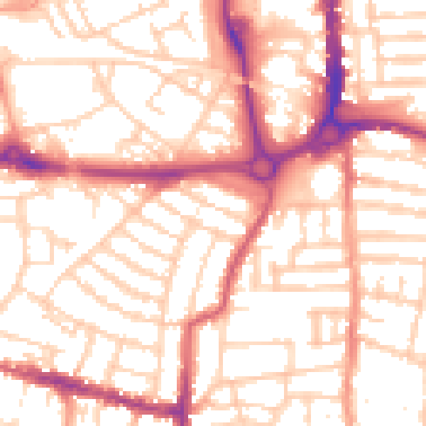
Daytime· 07:00 – 23:00
54.4dB

Night-time· 23:00 – 07:00
43.3dB