2 Arnold Road, Ryde, PO33 3RJ
About 2 Arnold Road
2 Arnold Road is a detached house in Ryde (PO33 3RJ). It has a recorded floor area of 163 m² (around 1755 sq ft), construction records dating it to 1967-1975 and council tax band E. The latest certificate (August 2016) shows a G (score 1), near the bottom of the EPC scale. The recommended improvements would lift it to C (score 72), a 4-band jump.
At 163 m² the property is well over the postcode median (122 m² across 15 EPCs), placing it in the larger end of the local stock. On energy efficiency it sits in the bottom 10% of properties in this postcode — significant headroom for improvement. One planning record on file: an extension approved in 2004. Past consents include an extension, meaningful when judging how the property has evolved.
Everything you need to know about 2 Arnold Road
The true value, the hidden risks and the full sale history, in one report.
30-day money-back guarantee

The data behind every report


Energy performance
2 Arnold Road sits at the bottom of the postcode for energy efficiency — meaningful headroom to improve.
EPC Rating
Planning history
2 Arnold Road has an approved single-storey rear extension on the planning record.
- Nov 2004ExtensionFullIn report
Extension: Single storey · Rear of property
Single storey rear extension to provide additional living accommodation
- Documents
- 6 docs on file
- Reference
- P/01947/04
We flagged 1 thing worth checking at 2 Arnold Road
Independent checks surfaced things a buyer would want to understand before offering. The report explains each one in full, with the underlying data and what to ask.
- Larger development activity nearby
30-day money-back guarantee
Sales history & valuation
2 Arnold Road has no Land Registry sales on file, suggesting it has stayed in the same hands since registration began.
£406,000
Modelled from EPC, postcode comparables.
No sales recorded with HM Land Registry
That can mean the property has never traded since the registry began publishing in 1995, was a new build that hasn't been registered yet, or is held in the same hands long-term.
Median price across the last 5 sales in PO33 3RJ: £300,000 (2022–2017).
Versus other Arnold Road homes
2 Arnold Road is notably below the street on epc rating.
EPC Rating
1 (G)
Street avg 56 (D)
Floor Area
163 m²
Street avg 127 m²
CO₂ Emissions
29.0 t/year
Street avg 7.3 t/year
Habitable Rooms
5 rooms
Street avg 6 rooms
Everything you need to know about 2 Arnold Road
The true value, the hidden risks and the full sale history, in one report.
30-day money-back guarantee
The data behind every report
Similar properties nearby
The neighbourhood at a glance
Daytime road noise here sits well below conversation level — a quiet pocket of the postcode.
Crime
7/mo
Steady year-on-year across the wider district.
Nearest stop
0.1 km
Kings Road — bus stop.
Closest school
0.3 km
Binstead Primary School. 6 schools nearby.
Go deeper on the local area
The full report breaks down crime, transport links, schools and air quality in depth.
Road noise across the postcode
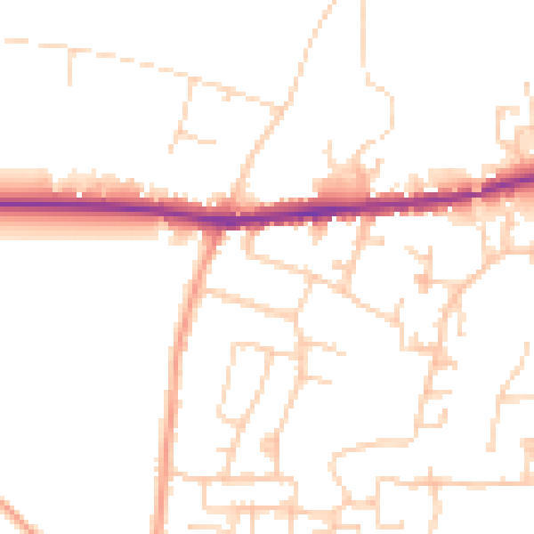
Daytime· 07:00 – 23:00
48.9dB

Night-time· 23:00 – 07:00
40.0dB