2 Barwell Grove, Emsworth, PO10 7XY
About 2 Barwell Grove
2 Barwell Grove is a detached house in Emsworth (PO10 7XY). It has a recorded floor area of 49 m² (around 527 sq ft), construction records dating it to 1983-1990 and council tax band C. The latest certificate (November 2019) shows a C (score 69), just inside the C band. When first surveyed in July 2009 the rating was D, the property has climbed 1 band since. Between certificates, wall efficiency went from Average to Good, window efficiency went from Average to Good and lighting went from Very Poor to Very Good; while roof efficiency dropped from Good to Average. The recommended improvements would push it to B (score 89).
At 49 m² it sits well below the postcode median (77 m² across 10 EPCs), making it one of the more compact homes locally.
Know exactly what you're buying at 2 Barwell Grove
Before you offer, see what the listing won't tell you, the true value, the red flags and the full history.
Already flagged here
Launch offer · save £5
Valuation
against the asking price
Risks
planning & flood
Sold prices
similar homes nearby
Trends
the local market
Energy performance
EPC Rating
Property Improvements
Changes detected from historical EPC data
Heating controls upgraded for better temperature management
Window efficiency improved
Wall insulation upgraded
More low energy lighting installed
Planning history
2 Barwell Grove has no planning applications on record.
Notable planning nearby
2applications of note in the surrounding area
We flagged 1 thing worth checking at 2 Barwell Grove
Independent checks surfaced things a buyer would want to understand before offering. The report explains each one in full, with the underlying data and what to ask.
- Larger development activity nearby
30-day money-back guarantee
Sales history & valuation
2 Barwell Grove has no Land Registry sales on file, suggesting it has stayed in the same hands since registration began.
£293,000
Modelled from EPC, postcode comparables.
No sales recorded with HM Land Registry
That can mean the property has never traded since the registry began publishing in 1995, was a new build that hasn't been registered yet, or is held in the same hands long-term.
Median price across the last 5 sales in PO10 7XY: £337,500 (2025–2021).
Nearby sales in PO10 7XY
Everything we know about 2 Barwell Grove, in one report
What it's really worth, what could be wrong, and the planning, sales and area data in full.
What we flagged
- Larger development activity nearby

Versus other Barwell Grove homes
2 Barwell Grove outperforms the street on co₂ emissions by a wide margin.
EPC Rating
69 (C)
Street avg 68 (D)
Floor Area
49 m²
Street avg 77 m²
CO₂ Emissions
2.0 t/year
Street avg 2.9 t/year
Habitable Rooms
3 rooms
Street avg 5 rooms
Similar properties nearby
The neighbourhood at a glance
Crime
2/mo
Steady year-on-year across the wider district.
Nearest stop
0.2 km
Allendale Avenue — bus stop.
Closest school
0.6 km
St James Church of England Controlled Primary School. 13 schools nearby.
Go deeper on the local area
The full report breaks down crime, transport links, schools and air quality in depth.
Road noise across the postcode
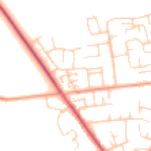
Daytime· 07:00 – 23:00
50.2dB

Night-time· 23:00 – 07:00
41.0dB