5 Barwell Grove, Emsworth, PO10 7XY
About 5 Barwell Grove
5 Barwell Grove is a detached house in Emsworth (PO10 7XY). It has a recorded floor area of 49 m² (around 527 sq ft), construction records dating it to 1950-1966 and council tax band C. The latest certificate (January 2023) shows a D (score 68), on the cusp of jumping into the C band. The recommended improvements would lift it to B (score 88), a 2-band jump.
At 49 m² it sits well below the postcode median (77 m² across 10 EPCs), making it one of the more compact homes locally. Across 2004–2024, sale prices on this property compounded at 2.1% per year. Today's modelled estimate of £309,000 is 14.2% above the 2024 sale price. On a £-per-square-foot basis, the last sale (£513/sq ft) was about 197% above the typical sold price in the postcode. Last sale on file: £270,500 in February 2024.
Know exactly what you're buying at 5 Barwell Grove
Before you offer, see what the listing won't tell you, the true value, the red flags and the full history.
Already flagged here
Launch offer · save £5
Valuation
against the asking price
Risks
planning & flood
Sold prices
similar homes nearby
Trends
the local market
Energy performance
Recommended upgrades on file would lift this property by multiple EPC bands.
EPC Rating
Planning history
5 Barwell Grove has no planning applications on record.
Notable planning nearby
2applications of note in the surrounding area
We flagged 1 thing worth checking at 5 Barwell Grove
Independent checks surfaced things a buyer would want to understand before offering. The report explains each one in full, with the underlying data and what to ask.
- Larger development activity nearby
30-day money-back guarantee
Sales history & valuation
5 Barwell Grove valuation sits well clear of the typical sold price in this postcode.
£309,000
Modelled from EPC, postcode comparables and a sale-price growth of 2.1% per year over 19 years.
£270,500
Growth on file: 2.1% per year over 19 years.
Sales timeline
5 February 2024Most recent
£270,500
+50.3%over 19 years21 October 2004
£180,000
Median price across the last 5 sales in PO10 7XY: £337,500 (2025–2019).
Nearby sales in PO10 7XY
Everything we know about 5 Barwell Grove, in one report
What it's really worth, what could be wrong, and the planning, sales and area data in full.
What we flagged
- Larger development activity nearby

Versus other Barwell Grove homes
5 Barwell Grove is notably below the street on habitable rooms.
Price per m²
£5,520
Street avg £3,429
Floor Area
49 m²
Street avg 77 m²
Habitable Rooms
3 rooms
Street avg 5 rooms
CO₂ Emissions
2.1 t/year
Street avg 2.8 t/year
Similar properties nearby
1 Allendale Avenue
PO10 7TJ
1 Barwell Grove
PO10 7XY
1 Coldharbour Farm Road
PO10 7XA
1 Bridgefoot Path
PO10 7EA
1 Birch Tree Close
PO10 7SJ
1 Chequers Quay, 37 Queen Street
PO10 7AD
1 Brunswick Place
PO10 7UB
1 Bullfinch Close, Brushwood Grove
PO10 7GX
The neighbourhood at a glance
Crime
2/mo
Steady year-on-year across the wider district.
Nearest stop
0.2 km
Allendale Avenue — bus stop.
Closest school
0.6 km
St James Church of England Controlled Primary School. 13 schools nearby.
Go deeper on the local area
The full report breaks down crime, transport links, schools and air quality in depth.
Road noise across the postcode
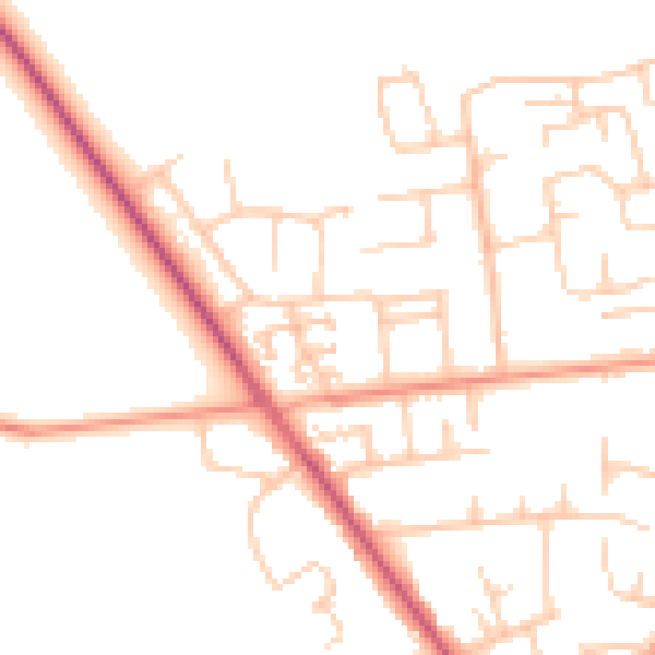
Daytime· 07:00 – 23:00
50.2dB

Night-time· 23:00 – 07:00
41.0dB