14 Stanley Road, Emsworth, PO10 7BD
About 14 Stanley Road
14 Stanley Road is a four-bedroom end-of-terrace house in Emsworth (PO10 7BD). It has a recorded floor area of 213 m² (around 2293 sq ft), construction records dating it to 1996-2002 and council tax band G. Other recorded features include a balcony and notable views. The latest certificate (May 2025) shows a C (score 69), just inside the C band.
It hasn't traded since March 1999, a hold of 27 years that's notably long for the area. Only one transfer is on record with HM Land Registry, suggesting it has stayed in the same hands for a long time. At 213 m² the property is well over the postcode median (115 m² across 10 EPCs), placing it in the larger end of the local stock. Today's modelled estimate of £1,048,000 sits 160.4% above the 1999 sale of £402,500. On a £-per-square-foot basis, the last sale (£176/sq ft) was about 52.8% below the postcode norm.
Know exactly what you're buying at 14 Stanley Road
Before you offer, see what the listing won't tell you, the true value, the red flags and the full history.
Already flagged here
Launch offer · save £5
Valuation
against the asking price
Risks
planning & flood
Sold prices
similar homes nearby
Trends
the local market
What this property has
Inside
- Bedrooms4
- Bathrooms3
- Dining roomYes
- CloakroomYes
- EnsuiteYes
Outside
- Private gardenfront_and_rear
- Garagedouble
- BalconyYes
- Notable viewsYes
Energy performance
14 Stanley Road's carbon output runs well above what efficient homes in the postcode produce.
EPC Rating
Planning history
14 Stanley Road has no planning applications on record.
Notable planning nearby
2applications of note in the surrounding area
We flagged 1 thing worth checking at 14 Stanley Road
Independent checks surfaced things a buyer would want to understand before offering. The report explains each one in full, with the underlying data and what to ask.
- Larger development activity nearby
30-day money-back guarantee
Sales history & valuation
14 Stanley Road has been held in the same hands since before 2000.
£1,048,000
Modelled from EPC, postcode comparables.
£402,500
Recorded with HM Land Registry.
Sales timeline
5 March 1999Most recent
£402,500
Median price across the last 5 sales in PO10 7BD: £540,000 (2025–2021).
Nearby sales in PO10 7BD
Everything we know about 14 Stanley Road, in one report
What it's really worth, what could be wrong, and the planning, sales and area data in full.
What we flagged
- Larger development activity nearby

Versus other Stanley Road homes
14 Stanley Road outperforms the street on floor area by a wide margin.
Price per m²
£1,890
Street avg £4,995
Floor Area
213 m²
Street avg 120 m²
Habitable Rooms
6 rooms
Street avg 5 rooms
CO₂ Emissions
6.4 t/year
Street avg 4.4 t/year
Similar properties nearby
1 Chester Close
PO10 7LN
1 Christopher Way
PO10 7QZ
1 Aubin Wood
PO10 7UA
1 Bridge Road
PO10 7DT
1 Bath Road
PO10 7EP
1 Churchill Drive
PO10 7SL
1 Birch Tree Drive
PO10 7RS
1 Bullfinch Close, Brushwood Grove
PO10 7GX
The neighbourhood at a glance
Rail-style transport is unusually close for this postcode.
Crime
2/mo
Steady year-on-year across the wider district.
Nearest stop
0.3 km
Hermitage Bridge — bus stop.
Closest school
1.3 km
Emsworth Primary School. 8 schools nearby.
Go deeper on the local area
The full report breaks down crime, transport links, schools and air quality in depth.
Road noise across the postcode
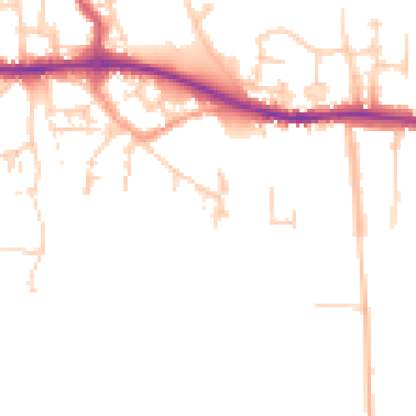
Daytime· 07:00 – 23:00
47.9dB

Night-time· 23:00 – 07:00
39.8dB