12a, Spring Gardens, Emsworth, PO10 7AU
About 12a
12a is a property in Emsworth (PO10 7AU). It has a recorded floor area of 51 m² (around 549 sq ft), construction records dating it to 1996-2002 and council tax band B. The latest certificate (November 2025) shows a C (score 72). Main heating runs on electricity.
At 51 m² it sits well below the postcode median (94 m² across 11 EPCs), making it one of the more compact homes locally. Its energy rating outperforms most of the postcode (better than 73% of similar EPCs).
Know exactly what you're buying at 12a
Before you offer, see what the listing won't tell you, the true value, the red flags and the full history.
Already flagged here
Launch offer · save £5
Valuation
against the asking price
Risks
planning & flood
Sold prices
similar homes nearby
Trends
the local market
Energy performance
12a's carbon output is low for the local stock.
EPC Rating
Planning history
12a has no planning applications on record.
Notable planning nearby
2applications of note in the surrounding area
We flagged 1 thing worth checking at 12a
Independent checks surfaced things a buyer would want to understand before offering. The report explains each one in full, with the underlying data and what to ask.
- Larger development activity nearby
30-day money-back guarantee
Sales history & valuation
12a has no Land Registry sales on file, suggesting it has stayed in the same hands since registration began.
£209,000
Modelled from EPC, postcode comparables.
No sales recorded with HM Land Registry
That can mean the property has never traded since the registry began publishing in 1995, was a new build that hasn't been registered yet, or is held in the same hands long-term.
Median price across the last 5 sales in PO10 7AU: £390,000 (2023–2017).
Nearby sales in PO10 7AU
Everything we know about 12a, in one report
What it's really worth, what could be wrong, and the planning, sales and area data in full.
What we flagged
- Larger development activity nearby

Similar properties nearby
The neighbourhood at a glance
Rail-style transport is unusually close for this postcode.
Crime
2/mo
Steady year-on-year across the wider district.
Nearest stop
0.1 km
Emsworth By-Pass — bus stop.
Closest school
1.0 km
Emsworth Primary School. 8 schools nearby.
Go deeper on the local area
The full report breaks down crime, transport links, schools and air quality in depth.
Road noise across the postcode
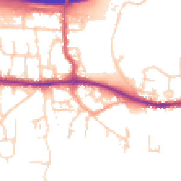
Daytime· 07:00 – 23:00
51.1dB

Night-time· 23:00 – 07:00
42.7dB