12 A Becket Court, Portsmouth, PO1 2HG
About 12 A Becket Court
12 A Becket Court is an end-of-terrace house in Portsmouth (PO1 2HG). It has a recorded floor area of 92 m² (around 990 sq ft), construction records dating it to 1950-1966 and council tax band E. The latest certificate (April 2019) shows a C (score 73). The recommended improvements would push it to B (score 86).
2 planning records sit against the property, 0 approved, 0 refused. The record references conservation-area consent, which constrain future alterations. Across 2005–2019, sale prices on this property compounded at 4.8% per year. Today's modelled estimate of £562,000 is 15.9% above the 2019 sale price. On a £-per-square-foot basis, the last sale (£490/sq ft) was about 72.6% above the typical sold price in the postcode. Last sale on file: £485,000 in July 2019.
Everything you need to know about 12 A Becket Court
The true value, the hidden risks and the full sale history, in one report.
Pick your report · every report is £14.99
One time fee only - money back guarantee

The data behind every report


Energy performance
EPC Rating
Get a survey for this property
Level 2 HomeBuyer Report
We've checked 10 risk factors against the available data for this property and believe a Level 2 HomeBuyer Report could be a suitable option for you.
From £795 · Includes VAT
Planning history
12 A Becket Court sits within a conservation area — exterior works face additional planning controls.
2 applications on record at 12 A Becket Court, Portsmouth, PO1 2HG
- Dec 2005Tree WorksTreesOutcome in report
EUCALYPTUS TRIM HEIGHT BY 50% AND THIN LOCATED IN FRONT WITHIN CONSERVATION AREA 4
Conservation Area- Documents
- 2 docs on file
- Reference
- A*39255/AA
- More recent applications — locked
- ExtensionJun 2021Decision
Unlock 12 A Becket Court, Portsmouth, PO1 2HG's full planning history
You're seeing the shape of it. The report has the substance.
- Every decision — granted, refused or withdrawn (2 on record)
- All 2 applications on this property in full
- The 23 documents, officer reports & conditions
- What the pattern means for extending or converting here
One time fee only - money back guarantee
Sales history & valuation
Latest sale on 12 A Becket Court was the highest on Land Registry record across the postcode.
£562,000
Modelled from EPC, postcode comparables and a sale-price growth of 4.8% per year over 15 years.
£485,000
Growth on file: 4.8% per year over 15 years.
Sales timeline
10 July 2019Most recent
£485,000
+98.0%over 14 years5 January 2005
£245,000
Median price across the last 5 sales in PO1 2HG: £425,000 (2025–2020).
Nearby sales in PO1 2HG
Versus other A Becket Court homes
Price per m² for 12 A Becket Court runs comfortably ahead of the street norm.
Price per m²
£5,272
Street avg £3,789
Floor Area
92 m²
Street avg 99 m²
Habitable Rooms
5 rooms
Street avg 5 rooms
CO₂ Emissions
2.5 t/year
Street avg 3.7 t/year
Everything you need to know about 12 A Becket Court
The true value, the hidden risks and the full sale history, in one report.
Pick your report · every report is £14.99
One time fee only - money back guarantee
The data behind every report
Similar properties nearby
The neighbourhood at a glance
Rail-style transport is unusually close for this postcode.
Crime
9/mo
Steady year-on-year across the wider district.
Nearest stop
0.1 km
Portsmouth Grammar School — bus stop.
Closest school
0.3 km
St Jude's CofE Primary School. 29 schools nearby.
Go deeper on the local area
A Local Area report breaks down crime, transport links, schools and air quality in depth.
Road noise across the postcode
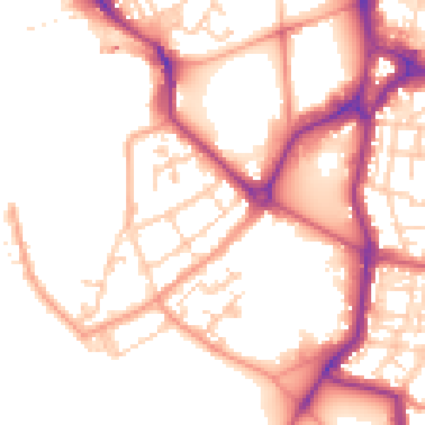
Daytime· 07:00 – 23:00
52.6dB

Night-time· 23:00 – 07:00
43.9dB