1 Nobbs Lane, Portsmouth, PO1 2EY
About 1 Nobbs Lane
1 Nobbs Lane is a four-bedroom end-of-terrace house in Portsmouth (PO1 2EY). It has a recorded floor area of 141 m² (around 1518 sq ft), construction records dating it to 1967-1975 and council tax band E. The latest certificate (September 2015) shows a D (score 57), a step below the typical UK home. The rating has held steady at D across 2 certificates since January 2009. Between certificates, window efficiency went from Average to Good; while wall efficiency dropped from Average to Poor. The recommended improvements would lift it to B (score 81), a 2-band jump. The latest certificate is from September 2015, so improvements made since then won't be reflected. Other recorded features include notable views.
9 years since the last transfer (February 2017). Across the public record there are 4 sales, relatively high churn for a single property. At 141 m² it's 29.4% larger than the typical home in the postcode (109 m² median across 3 EPCs). Across 2001–2017, sale prices on this property compounded at 6.4% per year. Today's modelled estimate of £547,000 is 18.9% above the 2017 sale price. On a £-per-square-foot basis, the last sale (£303/sq ft) was about 97.7% above the typical sold price in the postcode. 3 planning records sit against the property, 0 approved, 0 refused.
What this property has
Inside
- Bedrooms4
- Bathrooms2
Outside
- Private gardenYes
- GarageYes
- Notable viewsYes
Building
- RefurbishedYes
Everything you need to know about 1 Nobbs Lane
The true value, the hidden risks and the full sale history, in one report.
Pick your report · every report is £14.99
One time fee only - money back guarantee

The data behind every report


Energy performance
1 Nobbs Lane's carbon output runs well above what efficient homes in the postcode produce.
EPC Expired
This certificate is over 10 years old and is no longer valid.Expired 28 Sept 2025
EPC Rating
Property Improvements
Changes detected from historical EPC data
Window efficiency improved
Get a survey for this property
Level 2 HomeBuyer Report
We've checked 10 risk factors against the available data for this property and believe a Level 2 HomeBuyer Report could be a suitable option for you.
From £795 · Includes VAT
Planning history
Planning history includes recorded demolition works, indicating a major rebuild phase at this address.
3 applications on record at 1 Nobbs Lane, Portsmouth, PO1 2EY
- May 2003RenovationFullOutcome in report
INSTALLATION OF PATIO DOORS AND 1.1 METRE HIGH RAILINGS (FIRST FLOOR) TO FORM BALCONY (REAR ELEVATION)
- Documents
- 3 docs on file
- Reference
- A*38301/AA
- More recent applications — locked
- DemolitionAug 2015Decision
- DemolitionSept 2007Decision
Unlock 1 Nobbs Lane, Portsmouth, PO1 2EY's full planning history
You're seeing the shape of it. The report has the substance.
- Every decision — granted, refused or withdrawn (3 on record)
- All 3 applications on this property in full
- The 10 documents, officer reports & conditions
- What the pattern means for extending or converting here
One time fee only - money back guarantee
Sales history & valuation
Latest sale on 1 Nobbs Lane was the highest on Land Registry record across the postcode.
£547,000
Modelled from EPC, postcode comparables and a sale-price growth of 6.4% per year over 15 years.
£460,000
Growth on file: 6.4% per year over 15 years.
Sales timeline
28 February 2017Most recent
£460,000
+58.6%over 1 year30 April 2015
£290,000
+45.0%over 12 years4 July 2002
£200,000
+14.3%over 10 months2 September 2001
£175,000
Median price across the last 5 sales in PO1 2EY: £215,000 (2021–2002).
Versus other Nobbs Lane homes
On floor area, 1 Nobbs Lane stands well clear of the street.
Price per m²
£3,262
Street avg £2,214
Floor Area
141 m²
Street avg 110 m²
Habitable Rooms
5 rooms
Street avg 5 rooms
CO₂ Emissions
6.3 t/year
Street avg 4.2 t/year
Everything you need to know about 1 Nobbs Lane
The true value, the hidden risks and the full sale history, in one report.
Pick your report · every report is £14.99
One time fee only - money back guarantee
The data behind every report
Similar properties nearby
1 Captains Row
PO1 2TT
1 Oyster Mews, French Street
PO1 2JS
1 Chadderton Gardens
PO1 2TE
1 Capstan House, Tower Street
PO1 2JR
1 Hanover Court, Highbury Street
PO1 2BN
1 Slingsby Close
PO1 2PD
1 Battery Row
PO1 2ND
1 Blount Road
PO1 2TD
The neighbourhood at a glance
Rail-style transport is unusually close for this postcode.
Crime
9/mo
Steady year-on-year across the wider district.
Nearest stop
0.1 km
Portsmouth Grammar School — bus stop.
Closest school
0.3 km
St Jude's CofE Primary School. 30 schools nearby.
Go deeper on the local area
A Local Area report breaks down crime, transport links, schools and air quality in depth.
Road noise across the postcode
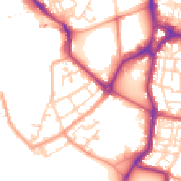
Daytime· 07:00 – 23:00
53.0dB

Night-time· 23:00 – 07:00
44.1dB