12 Bridgeside Close, Portsmouth, PO1 1RH
About 12 Bridgeside Close
12 Bridgeside Close is a two-bedroom semi-detached house in Portsmouth (PO1 1RH). It has a recorded floor area of 91 m² (around 980 sq ft), construction records dating it to 1967-1975 and council tax band A. The latest certificate (March 2016) shows a D (score 66), on the cusp of jumping into the C band. The recommended improvements would push it to C (score 78). The latest certificate is from March 2016, so improvements made since then won't be reflected.
Today's modelled estimate of £163,000 sits 52.3% above the 2016 sale of £107,000. It lags the bulk of the postcode on energy efficiency (less efficient than 76% of similar EPCs). Last sold in July 2016, so it's been off the market for around 10 years.
What this property has
Inside
- Bedrooms2
Everything you need to know about 12 Bridgeside Close
The true value, the hidden risks and the full sale history, in one report.
Pick your report · every report is £14.99
One time fee only - money back guarantee

The data behind every report


Energy performance
EPC Expired
This certificate is over 10 years old and is no longer valid.Expired 08 Mar 2026
EPC Rating
Get a survey for this property
Level 2 HomeBuyer Report
We've checked 10 risk factors against the available data for this property and believe a Level 2 HomeBuyer Report could be a suitable option for you.
From £495 · Includes VAT
Planning history
12 Bridgeside Close has no planning applications on record.
But the area is active
14 notable applications nearby — larger schemes and conversions that could reshape the street. The report maps them all.
Sales history & valuation
12 Bridgeside Close valuation sits well clear of the typical sold price in this postcode.
£163,000
Modelled from EPC, postcode comparables.
£107,000
Recorded with HM Land Registry.
Sales timeline
21 July 2016Most recent
£107,000
Median price across the last 5 sales in PO1 1RH: £150,000 (2024–2020).
Nearby sales in PO1 1RH
6 Bridgeside Close, Portsmouth, PO1 1RH
Sold Dec 2024
£175,00015 Bridgeside Close, Portsmouth, PO1 1RH
Sold Nov 2024
£150,00028 Bridgeside Close, Portsmouth, PO1 1RH
Sold Feb 2023
£150,0001 Bridgeside Close, Portsmouth, PO1 1RH
Sold Feb 2021
£155,00020 Bridgeside Close, Portsmouth, PO1 1RH
Sold May 2020
£132,000
Versus other Bridgeside Close homes
Price per m² for 12 Bridgeside Close lags the street by a wide margin.
Price per m²
£1,176
Street avg £1,624
Floor Area
91 m²
Street avg 94 m²
Habitable Rooms
3 rooms
Street avg 4 rooms
CO₂ Emissions
3.3 t/year
Street avg 2.7 t/year
Everything you need to know about 12 Bridgeside Close
The true value, the hidden risks and the full sale history, in one report.
Pick your report · every report is £14.99
One time fee only - money back guarantee
The data behind every report
Similar properties nearby
The neighbourhood at a glance
Rail-style transport is unusually close for this postcode.
Crime
9/mo
Steady year-on-year across the wider district.
Nearest stop
0.3 km
Clifton Street — bus stop.
Closest school
0.1 km
St John's Cathedral Catholic Primary School. 39 schools nearby.
Go deeper on the local area
A Local Area report breaks down crime, transport links, schools and air quality in depth.
Road noise across the postcode
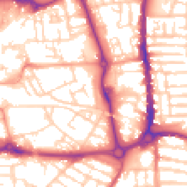
Daytime· 07:00 – 23:00
55.9dB

Night-time· 23:00 – 07:00
44.9dB