20 Bridgeside Close, Portsmouth, PO1 1RH
About 20 Bridgeside Close
20 Bridgeside Close is a semi-detached house in Portsmouth (PO1 1RH). It has a recorded floor area of 89 m² (around 958 sq ft), construction records dating it to 1976-1982 and council tax band A. At 89 m² this is the 13th smallest of 39 units on EPC record in the building, where floor areas span 56–112 m². The building's EPC ratings span E to C, with this unit at the top. The latest certificate (November 2025) shows a C (score 75), near the top of the C band. The rating has held steady at C across 3 certificates since December 2014. Between certificates, wall efficiency went from Average to Good; while window efficiency dropped from Average to Poor and lighting dropped from Very Good to Average. This certificate was lodged in the last six months, so the rating reflects current condition.
Today's modelled estimate of £159,000 is 20.5% above the 2020 sale price. On a £-per-square-foot basis, the last sale (£138/sq ft) was about 25.9% above the typical sold price in the postcode. Most recent transfer: May 2020 at £132,000.
Everything you need to know about 20 Bridgeside Close
The true value, the hidden risks and the full sale history, in one report.
Pick your report · every report is £14.99
One time fee only - money back guarantee

The data behind every report


Energy performance
The EPC has just been inspected, so the rating reflects current condition.
EPC Rating
Property Improvements
Changes detected from historical EPC data
Wall insulation upgraded
Heating controls upgraded for better temperature management
Get a survey for this property
Level 2 HomeBuyer Report
We've checked 10 risk factors against the available data for this property and believe a Level 2 HomeBuyer Report could be a suitable option for you.
From £495 · Includes VAT
Planning history
20 Bridgeside Close has no planning applications on record.
But the area is active
14 notable applications nearby — larger schemes and conversions that could reshape the street. The report maps them all.
Sales history & valuation
The latest sale landed in the post-pandemic price surge — useful context when reading the figure.
£159,000
Modelled from EPC, postcode comparables.
£132,000
Recorded with HM Land Registry.
Sales timeline
21 May 2020Most recent
£132,000
Median price across the last 5 sales in PO1 1RH: £150,000 (2024–2019).
Nearby sales in PO1 1RH
6 Bridgeside Close, Portsmouth, PO1 1RH
Sold Dec 2024
£175,00015 Bridgeside Close, Portsmouth, PO1 1RH
Sold Nov 2024
£150,00028 Bridgeside Close, Portsmouth, PO1 1RH
Sold Feb 2023
£150,0001 Bridgeside Close, Portsmouth, PO1 1RH
Sold Feb 2021
£155,0007 Bridgeside Close, Portsmouth, PO1 1RH
Sold Jul 2018
£131,000
Versus other Bridgeside Close homes
20 Bridgeside Close is notably below the street on habitable rooms.
Price per m²
£1,483
Street avg £1,585
Floor Area
89 m²
Street avg 94 m²
Habitable Rooms
3 rooms
Street avg 4 rooms
CO₂ Emissions
2.1 t/year
Street avg 2.7 t/year
Everything you need to know about 20 Bridgeside Close
The true value, the hidden risks and the full sale history, in one report.
Pick your report · every report is £14.99
One time fee only - money back guarantee
The data behind every report
Similar properties nearby
The neighbourhood at a glance
Rail-style transport is unusually close for this postcode.
Crime
9/mo
Steady year-on-year across the wider district.
Nearest stop
0.3 km
Clifton Street — bus stop.
Closest school
0.1 km
St John's Cathedral Catholic Primary School. 39 schools nearby.
Go deeper on the local area
A Local Area report breaks down crime, transport links, schools and air quality in depth.
Road noise across the postcode
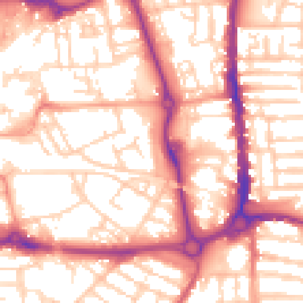
Daytime· 07:00 – 23:00
55.9dB

Night-time· 23:00 – 07:00
44.9dB