Crown Place, Station Street, Portsmouth, PO1 1BZ
About Crown Place
Crown Place is a property in Portsmouth (PO1 1BZ).
Last changed hands 10 years ago, in December 2015. One historical planning record sits against the property in 2022.
Everything you need to know about Crown Place
The true value, the hidden risks and the full sale history, in one report.
Pick your report · every report is £14.99
One time fee only - money back guarantee

The data behind every report


Energy performance
No EPC on record
This property doesn't have an Energy Performance Certificate yet. An EPC is required to sell or let — and unlocks our automated valuation.
Get a survey for this property
Level 2 HomeBuyer Report
We've checked 10 risk factors against the available data for this property and believe a Level 2 HomeBuyer Report could be a suitable option for you.
Planning history
1 application on record at Crown Place, Station Street, Portsmouth, PO1 1BZ
- Jul 2022Change Of UseFullOutcome in report
Temporary change of use of part of building for either student accommodation (sui generis) or serviced apartments (Class C1).
- Documents
- 20 docs on file
- Reference
- 22/01027/FUL
Unlock Crown Place, Station Street, Portsmouth, PO1 1BZ's full planning history
You're seeing the shape of it. The report has the substance.
- Every decision — granted, refused or withdrawn
- All 1 application on this property in full, plus 14 notable nearby
- The 20 documents, officer reports & conditions
- What the pattern means for extending or converting here
One time fee only - money back guarantee
Sales history & valuation
£7,416,000
Recorded with HM Land Registry.
Sales timeline
23 December 2015Most recent
£7,416,000
Everything you need to know about Crown Place
The true value, the hidden risks and the full sale history, in one report.
Pick your report · every report is £14.99
One time fee only - money back guarantee
The data behind every report
Similar properties nearby
The neighbourhood at a glance
Rail-style transport is unusually close for this postcode.
Crime
9/mo
Steady year-on-year across the wider district.
Nearest stop
0.0 km
Station Street — bus stop.
Closest school
0.3 km
St Edmund's Catholic School. 39 schools nearby.
Go deeper on the local area
A Local Area report breaks down crime, transport links, schools and air quality in depth.
Road noise across the postcode
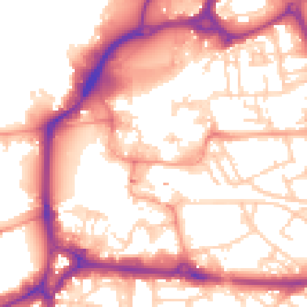
Daytime· 07:00 – 23:00
56.2dB

Night-time· 23:00 – 07:00
46.2dB