1 Highfield Road, Portsmouth, PO1 1LP
About 1 Highfield Road
1 Highfield Road is an end-of-terrace house in Portsmouth (PO1 1LP). It has a recorded floor area of 48 m² (around 517 sq ft), construction records dating it to 1967-1975 and council tax band A. At 48 m² this is the smallest unit on EPC record across the building (48–152 m²). The building's EPC ratings span F to B across 32 units on file. The latest certificate (January 2026) shows a C (score 71). The rating has held steady at C across 2 certificates since September 2013. Between certificates, window efficiency dropped from Average to Poor. This certificate was lodged in the last six months, so the rating reflects current condition.
At 48 m² it sits well below the postcode median (76 m² across 31 EPCs), making it one of the more compact homes locally.
Everything you need to know about 1 Highfield Road
The true value, the hidden risks and the full sale history, in one report.
Pick your report · every report is £14.99
One time fee only - money back guarantee

The data behind every report


Energy performance
The EPC has just been inspected, so the rating reflects current condition.
EPC Rating
Property Improvements
Changes detected from historical EPC data
More low energy lighting installed
Get a survey for this property
Level 2 HomeBuyer Report
We've checked 10 risk factors against the available data for this property and believe a Level 2 HomeBuyer Report could be a suitable option for you.
From £495 · Includes VAT
Planning history
1 Highfield Road has no planning applications on record.
But the area is active
14 notable applications nearby — larger schemes and conversions that could reshape the street. The report maps them all.
Sales history & valuation
1 Highfield Road has no Land Registry sales on file, suggesting it has stayed in the same hands since registration began.
£121,000
Modelled from EPC, postcode comparables.
No sales recorded with HM Land Registry
That can mean the property has never traded since the registry began publishing in 1995, was a new build that hasn't been registered yet, or is held in the same hands long-term.
Median price across the last 5 sales in PO1 1LP: £132,000 (2025–2015).
Nearby sales in PO1 1LP
Versus other Highfield Road homes
EPC Rating for 1 Highfield Road lags the street by a wide margin.
EPC Rating
71 (C)
Street avg 75 (C)
Floor Area
48 m²
Street avg 63 m²
CO₂ Emissions
1.6 t/year
Street avg 1.7 t/year
Habitable Rooms
2 rooms
Street avg 3 rooms
Everything you need to know about 1 Highfield Road
The true value, the hidden risks and the full sale history, in one report.
Pick your report · every report is £14.99
One time fee only - money back guarantee
The data behind every report
Similar properties nearby
The neighbourhood at a glance
Rail-style transport is unusually close for this postcode.
Crime
9/mo
Steady year-on-year across the wider district.
Nearest stop
0.3 km
Canberra House — bus stop.
Closest school
0.1 km
St John's Cathedral Catholic Primary School. 39 schools nearby.
Go deeper on the local area
A Local Area report breaks down crime, transport links, schools and air quality in depth.
Road noise across the postcode
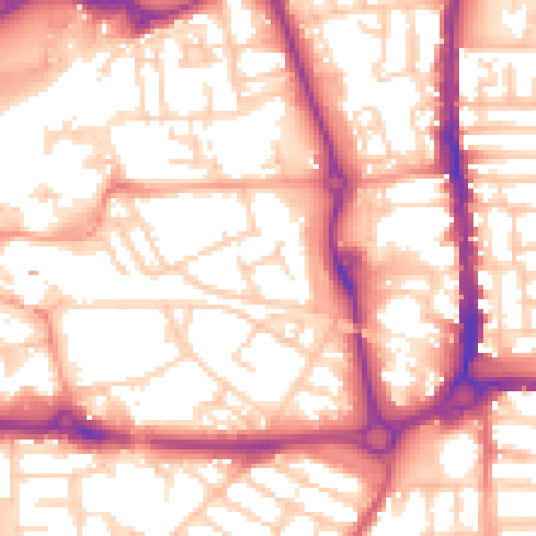
Daytime· 07:00 – 23:00
56.2dB

Night-time· 23:00 – 07:00
45.1dB