3 Reedman Close, Langtoft, Peterborough, PE6 9RL
About 3 Reedman Close
3 Reedman Close is a detached house in Langtoft, Peterborough, Peterborough (PE6 9RL). It has a recorded floor area of 112 m² (around 1201 sq ft), construction records dating it to 1996-2002 and council tax band E. The latest certificate (November 2010) shows a C (score 69), just inside the C band. The latest certificate is from November 2010, so improvements made since then won't be reflected.
Untraded for 15 years, with the last transfer in March 2011. Across 1997–2011, sale prices on this property compounded at 6.2% per year. Today's modelled estimate of £424,000 sits 69.6% above the 2011 sale of £250,000. On a £-per-square-foot basis, the last sale (£208/sq ft) was about 29% above the typical sold price in the postcode. Its energy rating outperforms most of the postcode (better than 89% of similar EPCs).
Everything you need to know about 3 Reedman Close
The true value, the hidden risks and the full sale history, in one report.
Pick your report · every report is £14.99
One time fee only - money back guarantee

The data behind every report


Energy performance
3 Reedman Close's EPC is over a decade old — improvements since won't be reflected.
EPC Expired
This certificate is over 10 years old and is no longer valid.Expired 30 Nov 2020
EPC Rating
Get a survey for this property
Level 2 HomeBuyer Report
We've checked 10 risk factors against the available data for this property and believe a Level 2 HomeBuyer Report could be a suitable option for you.
From £695 · Includes VAT
Planning history
3 Reedman Close has no planning applications on record.
A planning report still maps activity across the surrounding area and reads this property's extension & conversion potential.
Sales history & valuation
3 Reedman Close has more than doubled in price since the earliest registered sale in 1997.
£424,000
Modelled from EPC, postcode comparables and a sale-price growth of 6.2% per year over 13 years.
£250,000
Growth on file: 6.2% per year over 13 years.
Sales timeline
29 March 2011Most recent
£250,000
+123.2%over 13 years21 November 1997
£112,000
Median price across the last 5 sales in PE6 9RL: £330,000 (2024–2015).
Nearby sales in PE6 9RL
9 Reedman Close, Langtoft, Peterborough, PE6 9RL
Sold Aug 2024
£460,00019 Reedman Close, Langtoft, Peterborough, PE6 9RL
Sold Nov 2020
£421,0004 Reedman Close, Langtoft, Peterborough, PE6 9RL
Sold Feb 2017
£315,00017 Reedman Close, Langtoft, Peterborough, PE6 9RL
Sold May 2016
£330,0005 Reedman Close, Langtoft, Peterborough, PE6 9RL
Sold Feb 2015
£250,000
Versus other Reedman Close homes
3 Reedman Close outperforms the street on years held by a wide margin.
Price per m²
£2,241
Street avg £2,860
Floor Area
112 m²
Street avg 120 m²
Habitable Rooms
5 rooms
Street avg 6 rooms
CO₂ Emissions
4.0 t/year
Street avg 4.5 t/year
Everything you need to know about 3 Reedman Close
The true value, the hidden risks and the full sale history, in one report.
Pick your report · every report is £14.99
One time fee only - money back guarantee
The data behind every report
Similar properties nearby
1 Caesar Close, Baston
PE6 9PN
1 Barleyfield, Langtoft
PE6 9RF
1 Brudenell Close, Baston
PE6 9PW
1 Church Street, Baston
PE6 9PE
1 Chesham Drive, Baston
PE6 9QW
1 Chariots Way, Baston
PE6 9PL
1 Claypole Drive, Northborough
PE6 9DW
1 Aveland Way, Baston
PE6 9QJ
The neighbourhood at a glance
Daytime road noise here sits well below conversation level — a quiet pocket of the postcode.
Crime
2/mo
Steady year-on-year across the wider district.
Nearest stop
0.1 km
Post Office — bus stop.
Closest school
0.1 km
Langtoft Primary School. 4 schools nearby.
Go deeper on the local area
A Local Area report breaks down crime, transport links, schools and air quality in depth.
Road noise across the postcode
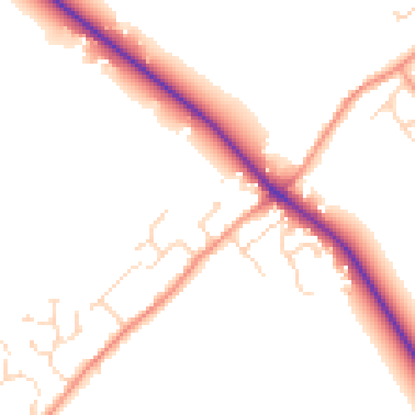
Daytime· 07:00 – 23:00
49.8dB

Night-time· 23:00 – 07:00
42.5dB