4 Farthingstones, Glinton, Peterborough, PE6 7NU
About 4 Farthingstones
4 Farthingstones is a property in Glinton, Peterborough, Peterborough (PE6 7NU). It has council tax band F.
Held since May 2007 — that's 19 years off the open market, well above the local norm. That sale landed at the peak of the pre-credit-crunch market, which is a useful reference point when interpreting the price. 2 planning records sit against the property, 1 approved, 0 refused. Across 2001–2007, sale prices on this property compounded at 8.2% per year.
Everything you need to know about 4 Farthingstones
The true value, the hidden risks and the full sale history, in one report.
Pick your report · every report is £14.99
One time fee only - money back guarantee

The data behind every report


Energy performance
No EPC on record
This property doesn't have an Energy Performance Certificate yet. An EPC is required to sell or let — and unlocks our automated valuation.
Get a survey for this property
Level 2 HomeBuyer Report
We've checked 10 risk factors against the available data for this property and believe a Level 2 HomeBuyer Report could be a suitable option for you.
Planning history
2 applications on record at 4 Farthingstones, Glinton, Peterborough, PE6 7NU
- Jan 2001New BuildFullOutcome in report
Erection of six dwellings and access road
- Council
- Peterborough
- Documents
- 2 docs on file
- Reference
- 00/00465/FUL
- More recent applications — locked
- ExtensionMar 2017Decision
Unlock 4 Farthingstones, Glinton, Peterborough, PE6 7NU's full planning history
You're seeing the shape of it. The report has the substance.
- Every decision — granted, refused or withdrawn (2 on record)
- All 2 applications on this property in full, plus 2 notable nearby
- The 5 documents, officer reports & conditions
- What the pattern means for extending or converting here
One time fee only - money back guarantee
Sales history & valuation
The latest sale landed at the peak of the pre-credit-crunch market — a high-water reference point.
£390,000
Growth on file: 8.2% per year over 5 years.
Sales timeline
22 May 2007Most recent
£390,000
+52.9%over 5 years20 December 2001
£254,995
Median price across the last 5 sales in PE6 7NU: £530,000 (2021–2011).
Nearby sales in PE6 7NU
5 Farthingstones, Glinton, Peterborough, PE6 7NU
Sold Nov 2021
£600,0002 Farthingstones, Glinton, Peterborough, PE6 7NU
Sold Feb 2020
£530,0001 Farthingstones, Glinton, Peterborough, PE6 7NU
Sold Aug 2019
£485,0003 Farthingstones, Glinton, Peterborough, PE6 7NU
Sold Oct 2015
£600,0006 Farthingstones, Glinton, Peterborough, PE6 7NU
Sold Sept 2010
£410,000
Everything you need to know about 4 Farthingstones
The true value, the hidden risks and the full sale history, in one report.
Pick your report · every report is £14.99
One time fee only - money back guarantee
The data behind every report
Similar properties nearby
1 Abingdon Close, Eye
PE6 7ZJ
1 Botolphs Yard, Helpston
PE6 7EA
1 Carpenters Mews, Newborough
PE6 7PB
1 Abbey Close, Eye
PE6 7WE
1 Bath Road, Eye
PE6 7PY
1 Bramble Close, Newborough
PE6 7RP
1 Ashburn Close, Glinton
PE6 7LH
1 Beech Road, Glinton
PE6 7LA
The neighbourhood at a glance
Crime
2/mo
Steady year-on-year across the wider district.
Closest school
0.2 km
Arthur Mellows Village College. 5 schools nearby.
Go deeper on the local area
A Local Area report breaks down crime, transport links, schools and air quality in depth.
Road noise across the postcode
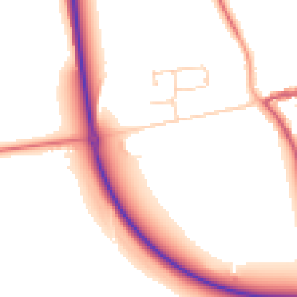
Daytime· 07:00 – 23:00
52.7dB

Night-time· 23:00 – 07:00
44.4dB