4 Crawford Gardens, Crowland, Peterborough, PE6 0AZ
About 4 Crawford Gardens
4 Crawford Gardens is a property in Crowland, Peterborough, Peterborough (PE6 0AZ). It has council tax band D.
2 planning records sit against the property, 0 approved, 0 refused.
Energy performance
No EPC on record
This property doesn't have an Energy Performance Certificate yet. An EPC is required to sell or let — and unlocks our automated valuation.
Get a survey for this property
Level 2 HomeBuyer Report
We've checked 10 risk factors against the available data for this property and believe a Level 2 HomeBuyer Report could be a suitable option for you.
Planning history
Planning history at 4 Crawford Gardens is exclusively tree-management applications — typical for a property with mature trees on or near the plot.
- Aug 2020Tree WorksTreesOutcome in report
Works to Crowland Tree Preservation Order No 3 1985
- Documents
- 3 docs on file
- Reference
- H02-0462-20
- May 2012Tree WorksTreesOutcome in report
Works to trees subject of Crowland Tree Preservation Order 3 1985. Ash tree identified as T23 of the above order,located within the garden of 'Twin oaks',4 Crawford Gardens adjacent to the eastern boundary in close proximity to the house. Selectively reduce the canopy by up to 20-25%, to give clearance to the house roof and balance. Care to be taken to maintain the overall shape of delicate branches. Lime tree identified as T24 of the above order,located within the garden of Salem Cottage,Thorney Road,immediately adjacent to the western boundary. The tree currently overhangs the garage roof of'Twin oaks'. Remove low branch over-hanging garage roof, tip prune low crown to give clearance over roof. Remove rubbing branches. Dead wood may be removed from all trees under the dead, dying, dangerous exemption of the Tree Preservation Order without requiring an application to be made. Mention is made in this description for completeness.
- Documents
- 3 docs on file
- Reference
- H02-0343-12
Sales history & valuation
No sales recorded with HM Land Registry
That can mean the property has never traded since the registry began publishing in 1995, was a new build that hasn't been registered yet, or is held in the same hands long-term.
Median price across the last 5 sales in PE6 0AZ: £314,000 (2022–2012).
Nearby sales in PE6 0AZ
7 Crawford Gardens, Crowland, Peterborough, PE6 0AZ
Sold Sept 2022
£475,0006 Crawford Gardens, Crowland, Peterborough, PE6 0AZ
Sold Feb 2021
£375,0008 Crawford Gardens, Crowland, Peterborough, PE6 0AZ
Sold Oct 2015
£235,0003 Crawford Gardens, Crowland, Peterborough, PE6 0AZ
Sold Jan 2012
£246,9505 Crawford Gardens, Crowland, Peterborough, PE6 0AZ
Sold Jun 2007
£238,000
Similar properties nearby
1 2, New Cut, Thorney
PE6 0TW
1 Abbey Mews, Crowland
PE6 0EH
1 Abbey Place, Thorney
PE6 0QA
1 Abbey Walk, Crowland
PE6 0EP
1 Abbots Drive, Crowland
PE6 0BT
1 Adcocks Avenue, Crowland
PE6 0GN
1 Alderlands Close, Crowland
PE6 0BS
1 Ambury Gardens, Crowland
PE6 0ET
The neighbourhood at a glance
Crime
2/mo
Steady year-on-year across the wider district.
Nearest stop
0.3 km
Barbers Drove North — bus stop.
Closest school
0.8 km
South View Community Primary School. 1 school nearby.
Road noise across the postcode
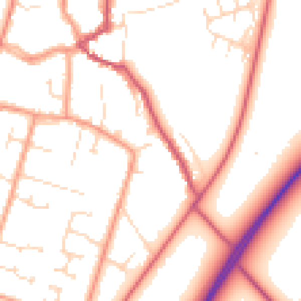
Daytime· 07:00 – 23:00
52.9dB

Night-time· 23:00 – 07:00
42.7dB