3 Reform Street, Crowland, Peterborough, PE6 0AN
About 3 Reform Street
3 Reform Street is a two-bedroom mid-terrace house in Crowland, Peterborough, Peterborough (PE6 0AN). It has a recorded floor area of 63 m² (around 676 sq ft), construction records dating it to 1900-1929 and council tax band A. The latest certificate (August 2011) shows a C (score 70). When first surveyed in March 2009 the rating was F, the property has climbed 3 bands since. Between certificates, roof efficiency went from Good to Very Good, window efficiency went from Poor to Average and hot-water efficiency went from Very Poor to Good; while wall efficiency dropped from Good to Very Poor. The latest certificate is from August 2011, so improvements made since then won't be reflected.
Across 2010–2012, sale prices on this property compounded at 85.4% per year. Today's modelled estimate of £157,000 sits 59.4% above the 2012 sale of £98,500. Its energy rating outperforms most of the postcode (better than 75% of similar EPCs). 14 years since the last transfer (January 2012).
What this property has
Inside
- Bedrooms2
- Bathrooms2
Everything you need to know about 3 Reform Street
The true value, the hidden risks and the full sale history, in one report.
Pick your report · every report is £14.99
One time fee only - money back guarantee

The data behind every report


Energy performance
3 Reform Street's EPC is over a decade old — improvements since won't be reflected.
EPC Expired
This certificate is over 10 years old and is no longer valid.Expired 23 Aug 2021
EPC Rating
Property Improvements
Changes detected from historical EPC data
Replaced storage heaters with gas boiler
Connected to mains gas supply
Hot water system upgraded
Windows upgraded, improving insulation
Roof insulation improved
More low energy lighting installed
Get a survey for this property
Level 3 Building Survey
Because the property was built before 1919 and has solid (non-cavity) walls, we believe a Level 3 building survey should be considered.
From £820 · Includes VAT
Planning history
3 Reform Street has no planning applications on record.
But the area is active
2 notable applications nearby — larger schemes and conversions that could reshape the street. The report maps them all.
Sales history & valuation
3 Reform Street's estimated value is more than triple its earliest registered sale price (2010).
£157,000
Modelled from EPC, postcode comparables and a sale-price growth of 85.4% per year over 1 year.
£98,500
Growth on file: 85.4% per year over 1 year.
Sales timeline
6 January 2012Most recent
£98,500
+97.0%over 1 year1 December 2010
£50,000
Median price across the last 5 sales in PE6 0AN: £125,000 (2024–2022).
Nearby sales in PE6 0AN
38 Reform Street, Crowland, Peterborough, PE6 0AN
Sold Jan 2024
£195,00076 Reform Street, Crowland, Peterborough, PE6 0AN
Sold Sept 2023
£100,00068 Reform Street, Crowland, Peterborough, PE6 0AN
Sold Oct 2022
£125,00026 Reform Street, Crowland, Peterborough, PE6 0AN
Sold Feb 2022
£112,5004 Reform Street, Crowland, Peterborough, PE6 0AN
Sold Feb 2022
£180,000
Versus other Reform Street homes
EPC Rating for 3 Reform Street runs comfortably ahead of the street norm.
Price per m²
£1,569
Street avg £1,870
Floor Area
63 m²
Street avg 63 m²
Habitable Rooms
4 rooms
Street avg 4 rooms
CO₂ Emissions
2.3 t/year
Street avg 3.7 t/year
Everything you need to know about 3 Reform Street
The true value, the hidden risks and the full sale history, in one report.
Pick your report · every report is £14.99
One time fee only - money back guarantee
The data behind every report
Similar properties nearby
1 Bartholomew Close, Crowland
PE6 0EX
1 Beekens Yard, North Street, Crowland
PE6 0EJ
1 Benedictine Square, Crowland
PE6 0EZ
1 Broadway, Crowland
PE6 0BJ
1 Alderlands Close, Crowland
PE6 0BS
1 Barley Close, Crowland
PE6 0EL
1 Ambury Gardens, Crowland
PE6 0ET
1 Beech Close, Thorney
PE6 0QP
The neighbourhood at a glance
Crime
2/mo
Steady year-on-year across the wider district.
Nearest stop
0.1 km
South View Primary School — bus stop.
Closest school
0.6 km
South View Community Primary School. 1 school nearby.
Go deeper on the local area
A Local Area report breaks down crime, transport links, schools and air quality in depth.
Road noise across the postcode
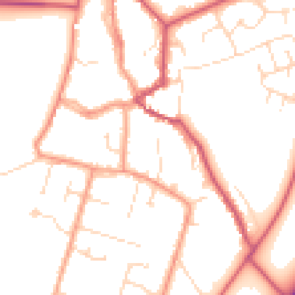
Daytime· 07:00 – 23:00
50.8dB

Night-time· 23:00 – 07:00
40.8dB