4 Dodgson Road, Oxford, OX4 3QS
About 4 Dodgson Road
4 Dodgson Road is a three-bedroom property in Oxford (OX4 3QS). It has council tax band C. Records show the property has been extended at some point in its history.
10 years since the last transfer (October 2016). Across the public record there are 4 sales, relatively high churn for a single property. Across 1995–2016, sale prices on this property compounded at 8.4% per year.
Know exactly what you're buying at 4 Dodgson Road
Before you offer, see what the listing won't tell you, the true value, the red flags and the full history.
Already flagged here
Valuation
against the asking price
Risks
planning & flood
Sold prices
similar homes nearby
Trends
the local market
What this property has
Inside
- Bedrooms3
- Bathrooms1
- Dining roomYes
Outside
- Private gardenFront and rear
- ParkingOff street
Building
- Heating systemGas
- Previously extendedYes
Energy performance
No EPC on record
This property doesn't have an Energy Performance Certificate yet. An EPC is required to sell or let — and unlocks our automated valuation.
Planning history
4 Dodgson Road has no planning applications on record.
Notable planning nearby
94applications of note in the surrounding area
We flagged 1 thing worth checking at 4 Dodgson Road
Independent checks surfaced things a buyer would want to understand before offering. The report explains each one in full, with the underlying data and what to ask.
- Signs of HMO activity in the area
30-day money-back guarantee
Sales history & valuation
Price for 4 Dodgson Road has grown more than fourfold since the 1995 starting point.
£347,000
Growth on file: 8.4% per year over 21 years.
Sales timeline
18 October 2016Most recent
£347,000
+207.1%over 8 years23 September 2008
£113,000
-8.1%over 8 years22 February 2000
£123,000
+92.2%over 4 years15 December 1995
£64,000
Median price across the last 5 sales in OX4 3QS: £400,000 (2023–2022).
Everything we know about 4 Dodgson Road, in one report
What it's really worth, what could be wrong, and the planning, sales and area data in full.
What we flagged
- Signs of HMO activity in the area

Similar properties nearby
The neighbourhood at a glance
Crime
7/mo
Steady year-on-year across the wider district.
Nearest stop
0.1 km
Barns Road — bus stop.
Closest school
0.1 km
Church Cowley St James Church of England Primary School. 21 schools nearby.
Go deeper on the local area
The full report breaks down crime, transport links, schools and air quality in depth.
Road noise across the postcode
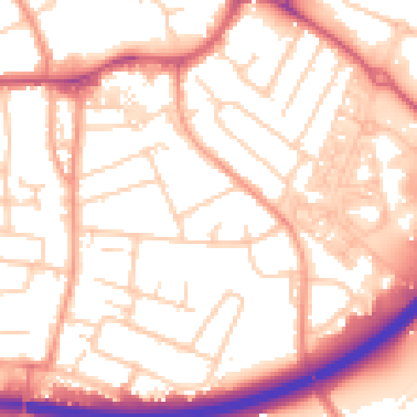
Daytime· 07:00 – 23:00
54.5dB

Night-time· 23:00 – 07:00
44.3dB