22 River View, Kennington, Oxford, OX1 5QJ
About 22 River View
22 River View is a semi-detached house in Kennington, Oxford, Oxford (OX1 5QJ). It has a recorded floor area of 93 m² (around 1001 sq ft), construction records dating it to 1983-1990 and council tax band C. The latest certificate (February 2023) shows a D (score 65), on the cusp of jumping into the C band. The recommended improvements would lift it to B (score 81), a 2-band jump.
At 93 m² the property is well over the postcode median (56 m² across 14 EPCs), placing it in the larger end of the local stock. It lags the bulk of the postcode on energy efficiency (less efficient than 71% of similar EPCs). A recent sale: £446,000 in June 2025. On a £-per-square-foot basis, the last sale (£446/sq ft) was about 45.7% above the typical sold price in the postcode. One historical planning record sits against the property in 2002.
Everything you need to know about 22 River View
The true value, the hidden risks and the full sale history, in one report.
30-day money-back guarantee

The data behind every report


Energy performance
Recommended upgrades on file would lift this property by multiple EPC bands.
EPC Rating
Planning history
Council records include a two-storey extension at 22 River View.
- Aug 2002ExtensionIn report
Extension: Two storey
Erection of a two storey extension.
- Documents
- 2 docs on file
- Reference
- P02/V1202
We flagged 1 thing worth checking at 22 River View
Independent checks surfaced things a buyer would want to understand before offering. The report explains each one in full, with the underlying data and what to ask.
- Larger development activity nearby
30-day money-back guarantee
Sales history & valuation
Latest sale on 22 River View was the highest on Land Registry record across the postcode.
£445,000
Modelled from EPC, postcode comparables.
£446,000
Recorded with HM Land Registry.
Sales timeline
26 June 2025Most recent
£446,000
Median price across the last 5 sales in OX1 5QJ: £285,000 (2024–2020).
Nearby sales in OX1 5QJ
14 River View, Kennington, Oxford, OX1 5QJ
Sold Feb 2024
£345,0001 River View, Kennington, Oxford, OX1 5QJ
Sold Sept 2021
£425,0006 River View, Kennington, Oxford, OX1 5QJ
Sold Jan 2021
£275,0008 River View, Kennington, Oxford, OX1 5QJ
Sold Dec 2020
£285,0002 River View, Kennington, Oxford, OX1 5QJ
Sold Jan 2020
£265,000
Versus other River View homes
On years held, 22 River View runs well behind the street norm.
Price per m²
£4,796
Street avg £3,821
Floor Area
93 m²
Street avg 62 m²
Habitable Rooms
5 rooms
Street avg 3 rooms
CO₂ Emissions
3.6 t/year
Street avg 2.3 t/year
Everything you need to know about 22 River View
The true value, the hidden risks and the full sale history, in one report.
30-day money-back guarantee
The data behind every report
Similar properties nearby
1 Church Close, South Hinksey
OX1 5BA
1 Manor Grove, Kennington
OX1 5QY
1 Links Road, Kennington
OX1 5RX
1 Otters Reach, Kennington
OX1 5QL
1 Fairways, Kennington
OX1 5RQ
1 Kirk Close, Kennington
OX1 5PX
1 Bagley Wood Road, Kennington
OX1 5PL
1 Chilswell Farm Cottages, Boars Hill
OX1 5EP
The neighbourhood at a glance
Reported crime in the wider district is trending notably upward year-on-year.
Crime
6/mo
Rising year-on-year across the wider district.
Nearest stop
0.1 km
Bagley Wood Road — bus stop.
Closest school
0.3 km
St Swithun's CofE Primary School. 13 schools nearby.
Go deeper on the local area
The full report breaks down crime, transport links, schools and air quality in depth.
Road noise across the postcode
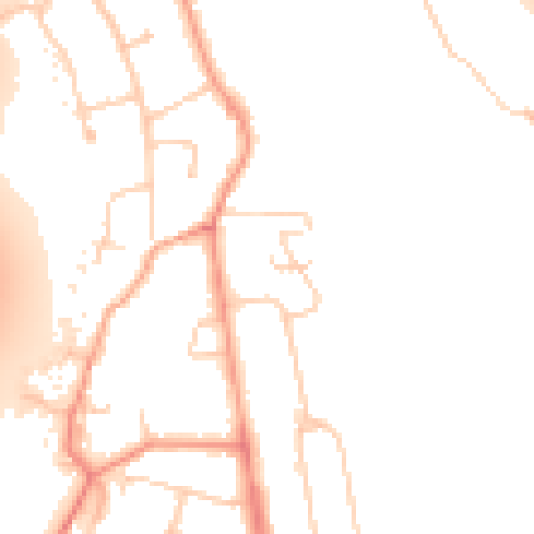
Daytime· 07:00 – 23:00
50.0dB

Night-time· 23:00 – 07:00
42.7dB