16 Dairy Street, Chadderton, Oldham, OL9 9HA
About 16 Dairy Street
16 Dairy Street is a property in Chadderton, Oldham, Oldham (OL9 9HA). It has council tax band A.
Untraded for 18 years, with the last transfer in February 2008. That sale landed at the peak of the pre-credit-crunch market, which is a useful reference point when interpreting the price. Across 1998–2008, sale prices on this property compounded at 10.4% per year.
Everything you need to know about 16 Dairy Street
The true value, the hidden risks and the full sale history, in one report.
Pick your report · every report is £14.99
One time fee only - money back guarantee

The data behind every report


Energy performance
No EPC on record
This property doesn't have an Energy Performance Certificate yet. An EPC is required to sell or let — and unlocks our automated valuation.
Get a survey for this property
Level 2 HomeBuyer Report
We've checked 10 risk factors against the available data for this property and believe a Level 2 HomeBuyer Report could be a suitable option for you.
Planning history
16 Dairy Street has no planning applications on record.
But the area is active
2 notable applications nearby — larger schemes and conversions that could reshape the street. The report maps them all.
Sales history & valuation
16 Dairy Street has more than doubled in price since the earliest registered sale in 1998.
£97,500
Growth on file: 10.4% per year over 9 years.
Sales timeline
29 February 2008Most recent
£97,500
+146.8%over 6 years2 July 2001
£39,500
+3.9%over 2 years3 September 1998
£38,000
Median price across the last 5 sales in OL9 9HA: £110,000 (2025–2020).
Nearby sales in OL9 9HA
18 Dairy Street, Chadderton, Oldham, OL9 9HA
Sold Jan 2025
£100,0002 Dairy Street, Chadderton, Oldham, OL9 9HA
Sold Nov 2023
£135,0004 Dairy Street, Chadderton, Oldham, OL9 9HA
Sold May 2023
£130,00010 Dairy Street, Chadderton, Oldham, OL9 9HA
Sold Apr 2021
£110,00012 Dairy Street, Chadderton, Oldham, OL9 9HA
Sold May 2017
£90,000
Everything you need to know about 16 Dairy Street
The true value, the hidden risks and the full sale history, in one report.
Pick your report · every report is £14.99
One time fee only - money back guarantee
The data behind every report
Similar properties nearby
1 Deal Walk, Chadderton
OL9 9BS
1 Dairy Street, Chadderton
OL9 9HA
1 Apfel Lane, Chadderton
OL9 9TA
1 Chilton Avenue, Chadderton
OL9 9RB
1 Bexhill Walk, Chadderton
OL9 9BE
1 Arundel Walk, Chadderton
OL9 9BZ
1 Ferring Walk, Chadderton
OL9 9DE
1 Ashford Walk, Chadderton
OL9 9BT
The neighbourhood at a glance
Rail-style transport is unusually close for this postcode.
Crime
1/mo
Steady year-on-year across the wider district.
Nearest stop
0.2 km
Stock Lane — bus stop.
Closest school
0.2 km
St Luke's CofE Primary School. 45 schools nearby.
Go deeper on the local area
A Local Area report breaks down crime, transport links, schools and air quality in depth.
Road noise across the postcode
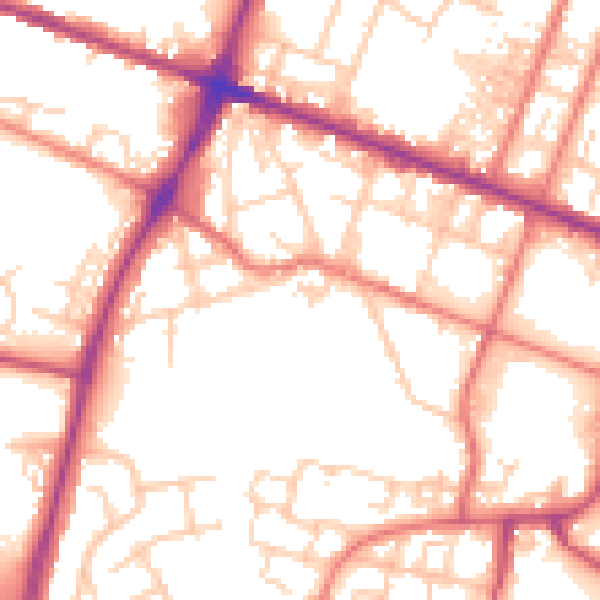
Daytime· 07:00 – 23:00
54.3dB

Night-time· 23:00 – 07:00
44.0dB