70 Arnside Avenue, Chadderton, Oldham, OL9 9DJ
About 70 Arnside Avenue
70 Arnside Avenue is a property in Chadderton, Oldham, Oldham (OL9 9DJ). It has council tax band D.
Sold June 2024 for £4,100.
Everything you need to know about 70 Arnside Avenue
The true value, the hidden risks and the full sale history, in one report.
Pick your report · every report is £14.99
One time fee only - money back guarantee

The data behind every report


Energy performance
No EPC on record
This property doesn't have an Energy Performance Certificate yet. An EPC is required to sell or let — and unlocks our automated valuation.
Get a survey for this property
Level 2 HomeBuyer Report
We've checked 10 risk factors against the available data for this property and believe a Level 2 HomeBuyer Report could be a suitable option for you.
Planning history
70 Arnside Avenue has no planning applications on record.
But the area is active
2 notable applications nearby — larger schemes and conversions that could reshape the street. The report maps them all.
Sales history & valuation
Latest sale on 70 Arnside Avenue was the lowest on Land Registry record across the postcode.
£4,100
Recorded with HM Land Registry.
Sales timeline
27 June 2024Most recent
£4,100
Median price across the last 5 sales in OL9 9DJ: £190,000 (2025–2023).
Nearby sales in OL9 9DJ
76 Arnside Avenue, Chadderton, Oldham, OL9 9DJ
Sold Oct 2025
£5,15013 Arnside Avenue, Chadderton, Oldham, OL9 9DJ
Sold Mar 2025
£305,00066 Arnside Avenue, Chadderton, Oldham, OL9 9DJ
Sold Oct 2024
£180,00062 Arnside Avenue, Chadderton, Oldham, OL9 9DJ
Sold Jul 2024
£190,00064 Arnside Avenue, Chadderton, Oldham, OL9 9DJ
Sold Jul 2023
£212,000
Everything you need to know about 70 Arnside Avenue
The true value, the hidden risks and the full sale history, in one report.
Pick your report · every report is £14.99
One time fee only - money back guarantee
The data behind every report
Similar properties nearby
1 Abbotsford Road, Chadderton
OL9 9RX
1 Albion Street, Chadderton
OL9 9HT
1 Amberwood, Chadderton
OL9 9SG
1 Apfel Lane, Chadderton
OL9 9TA
1 Applewood, Chadderton
OL9 9UD
1 Arnside Avenue, Chadderton
OL9 9DJ
1 Arundel Walk, Chadderton
OL9 9BZ
1 Ashford Walk, Chadderton
OL9 9BT
The neighbourhood at a glance
Rail-style transport is unusually close for this postcode.
Crime
1/mo
Steady year-on-year across the wider district.
Nearest stop
0.2 km
Newman RC College — bus stop.
Closest school
0.2 km
Christ Church CofE Primary School. 47 schools nearby.
Go deeper on the local area
A Local Area report breaks down crime, transport links, schools and air quality in depth.
Road noise across the postcode
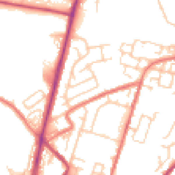
Daytime· 07:00 – 23:00
51.5dB

Night-time· 23:00 – 07:00
41.5dB