5 Gorton Street, Chadderton, Oldham, OL9 8QQ
About 5 Gorton Street
5 Gorton Street is a property in Chadderton, Oldham, Oldham (OL9 8QQ). It has council tax band B.
It hasn't traded since November 2006, a hold of 20 years that's notably long for the area.
Everything you need to know about 5 Gorton Street
The true value, the hidden risks and the full sale history, in one report.
Pick your report · every report is £14.99
One time fee only - money back guarantee

The data behind every report


Energy performance
No EPC on record
This property doesn't have an Energy Performance Certificate yet. An EPC is required to sell or let — and unlocks our automated valuation.
Get a survey for this property
Level 2 HomeBuyer Report
We've checked 10 risk factors against the available data for this property and believe a Level 2 HomeBuyer Report could be a suitable option for you.
Planning history
5 Gorton Street has no planning applications on record.
But the area is active
2 notable applications nearby — larger schemes and conversions that could reshape the street. The report maps them all.
Sales history & valuation
£115,000
Recorded with HM Land Registry.
Sales timeline
23 November 2006Most recent
£115,000
Median price across the last 5 sales in OL9 8QQ: £120,000 (2023–2010).
Nearby sales in OL9 8QQ
2b, Gorton Street, Chadderton, Oldham, OL9 8QQ
Sold Jun 2023
£195,00015 Gorton Street, Chadderton, Oldham, OL9 8QQ
Sold Dec 2018
£134,5002a, Gorton Street, Chadderton, Oldham, OL9 8QQ
Sold Feb 2016
£120,0009 Gorton Street, Chadderton, Oldham, OL9 8QQ
Sold Feb 2010
£115,9507 Gorton Street, Chadderton, Oldham, OL9 8QQ
Sold Mar 2004
£50,000
Everything you need to know about 5 Gorton Street
The true value, the hidden risks and the full sale history, in one report.
Pick your report · every report is £14.99
One time fee only - money back guarantee
The data behind every report
Similar properties nearby
1 Glebe Street, Chadderton
OL9 8HY
1 Bredbury Street, Chadderton
OL9 8QW
1 Fourth Avenue, Chadderton
OL9 8PG
1 Grampian Close, Chadderton
OL9 8PT
1 Brooklands Avenue, Chadderton
OL9 8PF
1 Gorton Street, Chadderton
OL9 8QQ
1 Fountains Walk, Chadderton
OL9 8PX
1 Glenham Way, Chadderton
OL9 8BW
The neighbourhood at a glance
Rail-style transport is unusually close for this postcode.
Crime
1/mo
Steady year-on-year across the wider district.
Nearest stop
0.2 km
Robinson Street — bus stop.
Closest school
0.3 km
Freehold Community Academy. 51 schools nearby.
Go deeper on the local area
A Local Area report breaks down crime, transport links, schools and air quality in depth.
Road noise across the postcode
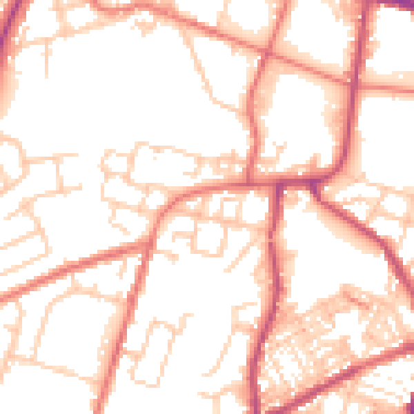
Daytime· 07:00 – 23:00
53.0dB

Night-time· 23:00 – 07:00
42.3dB